
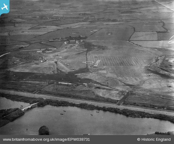
EPW038731 ENGLAND (1932). Blackpool Aerodrome (Stanley Park), Blackpool, 1932. This image has been produced from a print.
© Copyright OpenStreetMap contributors and licensed by the OpenStreetMap Foundation. 2026. Cartography is licensed as CC BY-SA.
Nearby Images (20)
EPW038731
, Blackpool, 1932. This image has been produced from a print.")
EAW050384

EAW050379

EAW050377

EAW050376

EAW050385

EAW050392

EAW050390

EAW050375

EAW050373

EAW050393

EAW050388

EPW038732
, Blackpool, 1932. This image has been produced from a print.")
EAW050391

EAW050386

EAW050389

EPW038733
, Blackpool, 1932. This image has been produced from a print.")
EAW050602

EAW050380

EAW050451

Details
| Title | [EPW038731] Blackpool Aerodrome (Stanley Park), Blackpool, 1932. This image has been produced from a print. |
| Reference | EPW038731 |
| Date | June-1932 |
| Link | |
| Place name | BLACKPOOL |
| Parish | |
| District | |
| Country | ENGLAND |
| Easting / Northing | 333342, 435838 |
| Longitude / Latitude | -3.0125241821347, 53.81433446482 |
| National Grid Reference | SD333358 |
Pins

toriangel |
Friday 14th of October 2016 04:39:38 PM | |

Maurice |
Thursday 30th of July 2015 07:20:58 AM | |
|
Maurice |
Thursday 30th of July 2015 07:19:40 AM | |
|
Brick Collector |
Monday 27th of July 2015 09:24:28 PM | |
|
John Wass |
Thursday 30th of April 2015 04:34:29 PM | |
Low-tech & totally reliable. |
Brick Collector |
Monday 27th of July 2015 09:21:57 PM |