
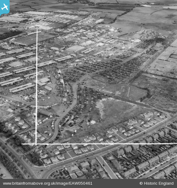
EAW050461 ENGLAND (1953). Blackpool, The Royal Agricultural Society of England Show, 1953. This image was marked by Aerofilms Ltd for photo editing.
© Copyright OpenStreetMap contributors and licensed by the OpenStreetMap Foundation. 2026. Cartography is licensed as CC BY-SA.
Nearby Images (11)
EAW050461

EAW050463

EAW050462

EAW050389

EAW050464

EAW050601

EAW050386

EAW050451

EAW050375

EAW050374

EAW050602

Details
| Title | [EAW050461] Blackpool, The Royal Agricultural Society of England Show, 1953. This image was marked by Aerofilms Ltd for photo editing. |
| Reference | EAW050461 |
| Date | 8-July-1953 |
| Link | |
| Place name | BLACKPOOL |
| Parish | |
| District | |
| Country | ENGLAND |
| Easting / Northing | 333251, 435490 |
| Longitude / Latitude | -3.0138307327369, 53.811195111587 |
| National Grid Reference | SD333355 |
Pins

Matt Aldred edob.mattaldred.com |
Saturday 15th of May 2021 04:39:32 PM | |
|
Matt Aldred edob.mattaldred.com |
Saturday 15th of May 2021 04:35:24 PM | |
|
Matt Aldred edob.mattaldred.com |
Saturday 15th of May 2021 04:32:01 PM |