
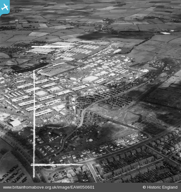
EAW050601 ENGLAND (1953). Blackpool, the Royal Agricultural Show at the Royal Lancashire Showground, 1953. This image was marked by Aerofilms Ltd for photo editing.
© Copyright OpenStreetMap contributors and licensed by the OpenStreetMap Foundation. 2026. Cartography is licensed as CC BY-SA.
Nearby Images (20)
EAW050601

EAW050464

EAW050602

EAW050389

EAW050386

EAW050462

EAW050463

EAW050380

EAW050385

EAW050390

EAW050388

EAW050461

EAW050377

EAW050604

EAW050375

EAW050391

EAW050379

EAW050374

EAW050384

EAW050383

Details
| Title | [EAW050601] Blackpool, the Royal Agricultural Show at the Royal Lancashire Showground, 1953. This image was marked by Aerofilms Ltd for photo editing. |
| Reference | EAW050601 |
| Date | 9-July-1953 |
| Link | |
| Place name | BLACKPOOL |
| Parish | |
| District | |
| Country | ENGLAND |
| Easting / Northing | 333411, 435582 |
| Longitude / Latitude | -3.0114208647776, 53.812042483694 |
| National Grid Reference | SD334356 |
Pins

Matt Aldred edob.mattaldred.com |
Saturday 15th of May 2021 04:39:49 PM | |
|
Matt Aldred edob.mattaldred.com |
Saturday 15th of May 2021 04:37:18 PM | |
|
Matt Aldred edob.mattaldred.com |
Saturday 15th of May 2021 04:32:20 PM | |
|
Matt Aldred edob.mattaldred.com |
Saturday 15th of May 2021 04:31:00 PM |