
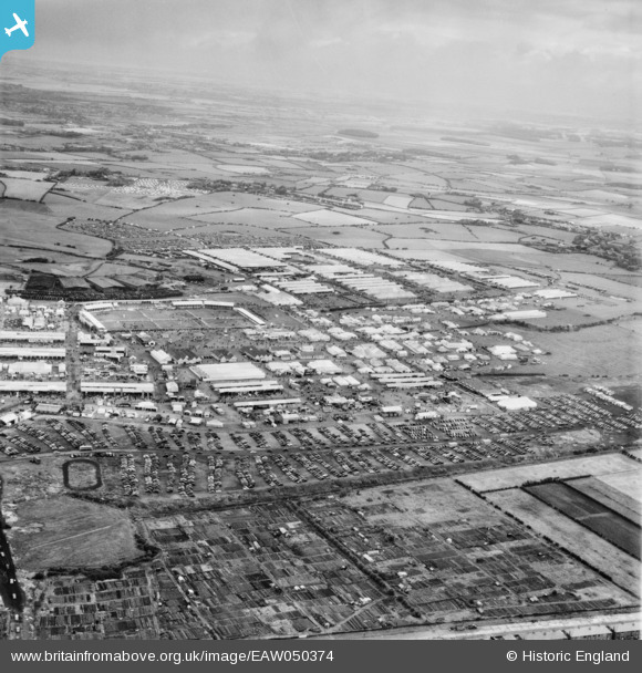
EAW050374 ENGLAND (1953). Blackpool, The Royal Agricultural Society of England Show, from the south, 1953
© Copyright OpenStreetMap contributors and licensed by the OpenStreetMap Foundation. 2026. Cartography is licensed as CC BY-SA.
Nearby Images (9)
EAW050374

EAW050604

EAW050464

EAW050463

EAW050462

EAW050601

EAW050602

EAW050461

EAW050603

Details
| Title | [EAW050374] Blackpool, The Royal Agricultural Society of England Show, from the south, 1953 |
| Reference | EAW050374 |
| Date | 7-July-1953 |
| Link | |
| Place name | BLACKPOOL |
| Parish | |
| District | |
| Country | ENGLAND |
| Easting / Northing | 333467, 435362 |
| Longitude / Latitude | -3.0105228641265, 53.810072381375 |
| National Grid Reference | SD335354 |
Pins

Matt Aldred edob.mattaldred.com |
Saturday 15th of May 2021 05:42:28 PM | |
|
Matt Aldred edob.mattaldred.com |
Saturday 15th of May 2021 05:42:07 PM | |
|
Matt Aldred edob.mattaldred.com |
Saturday 15th of May 2021 05:41:38 PM |