
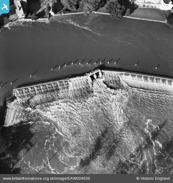
EAW034636 ENGLAND (1951). Marlow Weir on the River Thames, Marlow, 1951
© Copyright OpenStreetMap contributors and licensed by the OpenStreetMap Foundation. 2026. Cartography is licensed as CC BY-SA.
Nearby Images (18)
EAW034636

EAW034635

EAW028002

EAW028004

EPW052602

EAW034259

EAW028005

EAW028003

EPW000922

EAW045412

EPW000915

EAW045413

EPW012123

EPW000923

EAW045411

EPW022691

EPW022689

EAW034257

Details
| Title | [EAW034636] Marlow Weir on the River Thames, Marlow, 1951 |
| Reference | EAW034636 |
| Date | 12-February-1951 |
| Link | |
| Place name | MARLOW |
| Parish | MARLOW |
| District | |
| Country | ENGLAND |
| Easting / Northing | 485292, 186131 |
| Longitude / Latitude | -0.76928625295072, 51.56711854714 |
| National Grid Reference | SU853861 |
Pins
Be the first to add a comment to this image!