
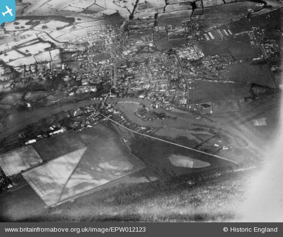
EPW012123 ENGLAND (1924). The town, Marlow, 1924. This image has been produced from a copy-negative affected by flare.
© Copyright OpenStreetMap contributors and licensed by the OpenStreetMap Foundation. 2026. Cartography is licensed as CC BY-SA.
Nearby Images (18)
EPW012123

EAW045412

EAW034635

EAW034257

EAW034636

EPW000923

EAW028002

EAW028005

EAW028004

EPW052602

EAW034259

EAW028003

EPW000922

EAW045413

EPW000915

EPW052745

EAW045411

EPW022691

Details
| Title | [EPW012123] The town, Marlow, 1924. This image has been produced from a copy-negative affected by flare. |
| Reference | EPW012123 |
| Date | September-1924 |
| Link | |
| Place name | MARLOW |
| Parish | MARLOW |
| District | |
| Country | ENGLAND |
| Easting / Northing | 485386, 186083 |
| Longitude / Latitude | -0.76794189074873, 51.566672782031 |
| National Grid Reference | SU854861 |
Pins
Be the first to add a comment to this image!