
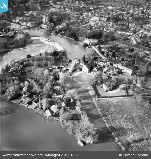
EAW034257 ENGLAND (1950). Marlow Lock, Lock Island and the River Thames, Marlow, 1950
© Copyright OpenStreetMap contributors and licensed by the OpenStreetMap Foundation. 2026. Cartography is licensed as CC BY-SA.
Nearby Images (13)
EAW034257

EPW012123

EAW045412

EAW034635

EPW000923

EAW034636

EAW028002

EAW028005

EAW028004

EPW052745

EPW052602

EAW045413

EAW034259

Details
| Title | [EAW034257] Marlow Lock, Lock Island and the River Thames, Marlow, 1950 |
| Reference | EAW034257 |
| Date | 14-November-1950 |
| Link | |
| Place name | MARLOW |
| Parish | MARLOW |
| District | |
| Country | ENGLAND |
| Easting / Northing | 485489, 186076 |
| Longitude / Latitude | -0.76645774915809, 51.566594240054 |
| National Grid Reference | SU855861 |
Pins

William Hester |
Sunday 3rd of September 2017 02:12:20 PM |