
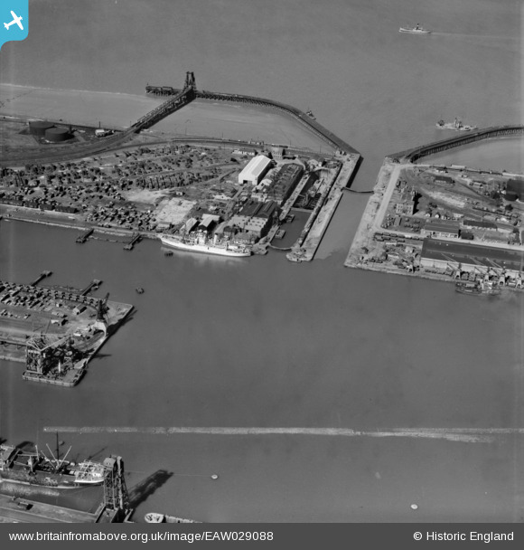
EAW029088 ENGLAND (1950). Immingham Dock, Immingham, 1950. image was marked by Aerofilms Ltd for photo editing.
© Copyright OpenStreetMap contributors and licensed by the OpenStreetMap Foundation. 2026. Cartography is licensed as CC BY-SA.
Nearby Images (22)
EAW029088

EAW030242

EAW030241

EAW030247

EAW030249

EAW030252

EAW029082

EAW030251

EAW029081

EAW029089

EAW030248

EPW006532

EAW029079

EAW030244

EAW030250

EAW030246

EAW030243

EAW030245

EAW029085

EAW029086

EAW030253

EAW029091

Details
| Title | [EAW029088] Immingham Dock, Immingham, 1950. image was marked by Aerofilms Ltd for photo editing. |
| Reference | EAW029088 |
| Date | 10-May-1950 |
| Link | |
| Place name | IMMINGHAM |
| Parish | IMMINGHAM |
| District | |
| Country | ENGLAND |
| Easting / Northing | 519710, 416211 |
| Longitude / Latitude | -0.18956305899438, 53.628487148746 |
| National Grid Reference | TA197162 |
Pins

Grollo |
Monday 31st of March 2014 11:46:26 PM | |
|
Grollo |
Monday 31st of March 2014 11:45:09 PM | |

Class31 |
Monday 31st of March 2014 04:46:34 PM |
User Comment Contributions

The cableship CS Lady Denison Pender. She has had some modifications from her original 1920 build. Cable and Wireless regulary sent their vessels to this yard for extended repair and overhaul. More information can be found at the link below. http://atlantic-cable.com/Cableships/LDP/index.htm |
Grollo |
Monday 31st of March 2014 11:50:01 PM |