
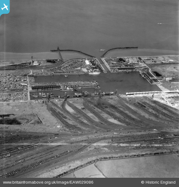
EAW029086 ENGLAND (1950). Immingham Dock, Immingham, 1950. image was marked by Aerofilms Ltd for photo editing.
© Copyright OpenStreetMap contributors and licensed by the OpenStreetMap Foundation. 2026. Cartography is licensed as CC BY-SA.
Nearby Images (11)
EAW029086

EAW030248

EAW030246

EAW030245

EAW418765

EPW031801

EPW031800

EAW030249

EAW029088

EAW030241

EAW030247

Details
| Title | [EAW029086] Immingham Dock, Immingham, 1950. image was marked by Aerofilms Ltd for photo editing. |
| Reference | EAW029086 |
| Date | 10-May-1950 |
| Link | |
| Place name | IMMINGHAM |
| Parish | IMMINGHAM |
| District | |
| Country | ENGLAND |
| Easting / Northing | 519470, 416107 |
| Longitude / Latitude | -0.19323064570353, 53.627607556031 |
| National Grid Reference | TA195161 |

