
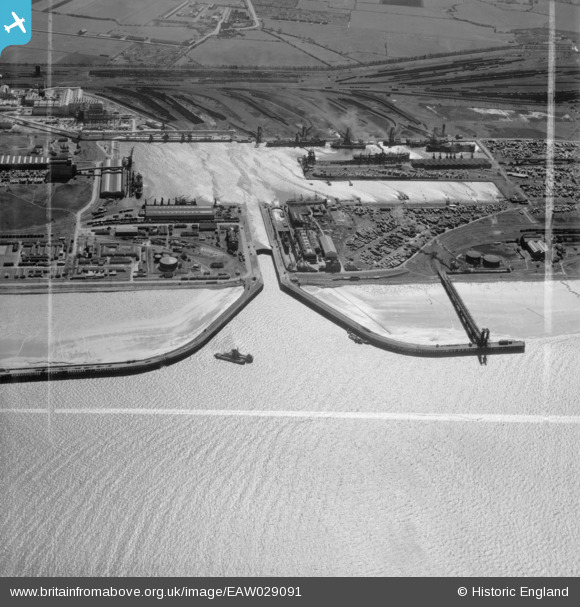
EAW029091 ENGLAND (1950). Immingham Dock, Immingham, 1950. This image was marked by Aerofilms Ltd for photo editing.
© Copyright OpenStreetMap contributors and licensed by the OpenStreetMap Foundation. 2026. Cartography is licensed as CC BY-SA.
Nearby Images (17)
EAW029091

EAW029084

EAW030253

EAW029083

EAW029079

EAW030250

EAW029081

EAW030252

EAW030244

EAW029082

EAW029080

EAW029089

EAW030251

EAW030242

EAW030247

EAW030241

EAW029088

Details
| Title | [EAW029091] Immingham Dock, Immingham, 1950. This image was marked by Aerofilms Ltd for photo editing. |
| Reference | EAW029091 |
| Date | 4-May-1950 |
| Link | |
| Place name | IMMINGHAM |
| Parish | IMMINGHAM |
| District | |
| Country | ENGLAND |
| Easting / Northing | 519912, 416459 |
| Longitude / Latitude | -0.1864142164523, 53.630669138816 |
| National Grid Reference | TA199165 |
Pins

redmist |
Saturday 23rd of February 2019 10:54:37 PM | |
|
redmist |
Saturday 23rd of February 2019 10:53:18 PM | |
|
redmist |
Saturday 23rd of February 2019 08:06:08 PM | |

Class31 |
Monday 31st of March 2014 04:44:03 PM | |
|
Class31 |
Monday 31st of March 2014 04:41:41 PM |