
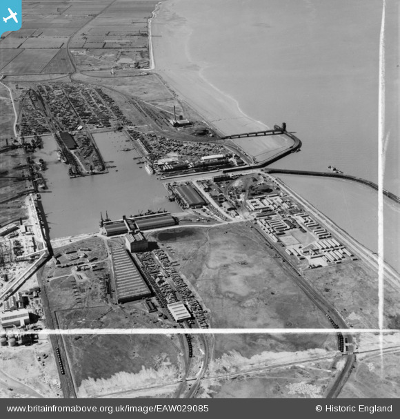
EAW029085 ENGLAND (1950). Immingham Dock, Immingham, 1950. image was marked by Aerofilms Ltd for photo editing.
© Copyright OpenStreetMap contributors and licensed by the OpenStreetMap Foundation. 2026. Cartography is licensed as CC BY-SA.
Nearby Images (15)
EAW029085

EAW030243

EPW006532

EAW029082

EAW030250

EAW029079

EAW029087

EAW030249

EAW029088

EAW030242

EAW030252

EAW029081

EAW030247

EAW030251

EAW029089

Details
| Title | [EAW029085] Immingham Dock, Immingham, 1950. image was marked by Aerofilms Ltd for photo editing. |
| Reference | EAW029085 |
| Date | 10-May-1950 |
| Link | |
| Place name | IMMINGHAM |
| Parish | IMMINGHAM |
| District | |
| Country | ENGLAND |
| Easting / Northing | 519941, 416120 |
| Longitude / Latitude | -0.18610652197286, 53.627616661683 |
| National Grid Reference | TA199161 |

