
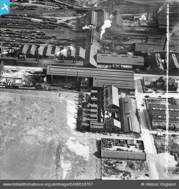
EAW018767 ENGLAND (1948). The Firth-Vickers Stainless Steels Ltd Atlas Works on Carlisle Street East, Grimesthorpe, 1948. This image was marked by Aerofilms Ltd for photo editing.
© Copyright OpenStreetMap contributors and licensed by the OpenStreetMap Foundation. 2026. Cartography is licensed as CC BY-SA.
Nearby Images (28)
EAW018767

EPW041547

EAW018768

EAW018770

EAW020106

EAW020112

EAW018765

EPW041546

EAW018766

EAW020107

EAW018769

EAW018800

EAW020105

EAW018764

EAW020111

EAW009654

EAW020110

EAW018801

EAW020109

EAW009650

EPW041548

EAW020104

EAW020108

EPW007795

EPW041552

EPW041551

EPW041550

EAW009653

Details
| Title | [EAW018767] The Firth-Vickers Stainless Steels Ltd Atlas Works on Carlisle Street East, Grimesthorpe, 1948. This image was marked by Aerofilms Ltd for photo editing. |
| Reference | EAW018767 |
| Date | 21-September-1948 |
| Link | |
| Place name | GRIMESTHORPE |
| Parish | |
| District | |
| Country | ENGLAND |
| Easting / Northing | 437090, 389331 |
| Longitude / Latitude | -1.4421127498637, 53.399239381816 |
| National Grid Reference | SK371893 |
