
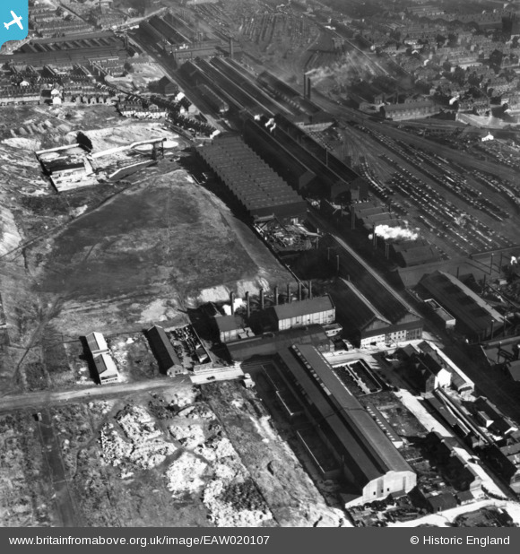
EAW020107 ENGLAND (1948). Garter Street, part of the Atlas and Norfolk Steel Works and environs, Sheffield, 1948. This image has been produced from a print.
© Copyright OpenStreetMap contributors and licensed by the OpenStreetMap Foundation. 2026. Cartography is licensed as CC BY-SA.
Nearby Images (24)
EAW020107

EAW020106

EAW018800

EAW020112

EAW018770

EAW018766

EAW018764

EAW020110

EAW018801

EAW020111

EAW018767

EAW020109

EAW018769

EAW020105

EPW041546

EPW041547

EAW018768

EAW018765

EAW020108

EAW020104

EAW009654

EAW009650

EAW009653

EPW041548

Details
| Title | [EAW020107] Garter Street, part of the Atlas and Norfolk Steel Works and environs, Sheffield, 1948. This image has been produced from a print. |
| Reference | EAW020107 |
| Date | 19-October-1948 |
| Link | |
| Place name | SHEFFIELD |
| Parish | |
| District | |
| Country | ENGLAND |
| Easting / Northing | 437108, 389400 |
| Longitude / Latitude | -1.4418339011134, 53.399858370498 |
| National Grid Reference | SK371894 |
Pins

circloy |
Sunday 12th of October 2014 06:32:09 PM | |
|
circloy |
Sunday 12th of October 2014 06:30:55 PM | |
|
circloy |
Sunday 12th of October 2014 06:30:17 PM | |
|
circloy |
Sunday 12th of October 2014 06:29:30 PM | |
|
circloy |
Sunday 12th of October 2014 06:29:01 PM | |
|
circloy |
Sunday 12th of October 2014 06:28:28 PM |