
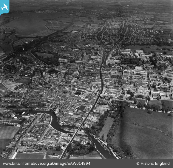
EAW014894 ENGLAND (1948). The city, Oxford, from the south, 1948. This image has been produced from a print.
© Copyright OpenStreetMap contributors and licensed by the OpenStreetMap Foundation. 2026. Cartography is licensed as CC BY-SA.
Nearby Images (15)
EAW014894

EPW038406

EPW000824

EAW047926

EPW038407

EPW022530

EPW000821

EPW038405

EPW000829

EPW000836

EAW047927

EAW014895

EAW003602

EAW003606

EPW038404

Details
| Title | [EAW014894] The city, Oxford, from the south, 1948. This image has been produced from a print. |
| Reference | EAW014894 |
| Date | 26-April-1948 |
| Link | |
| Place name | OXFORD |
| Parish | |
| District | |
| Country | ENGLAND |
| Easting / Northing | 451432, 205665 |
| Longitude / Latitude | -1.2549326666904, 51.746864978678 |
| National Grid Reference | SP514057 |
Pins
Be the first to add a comment to this image!
User Comment Contributions
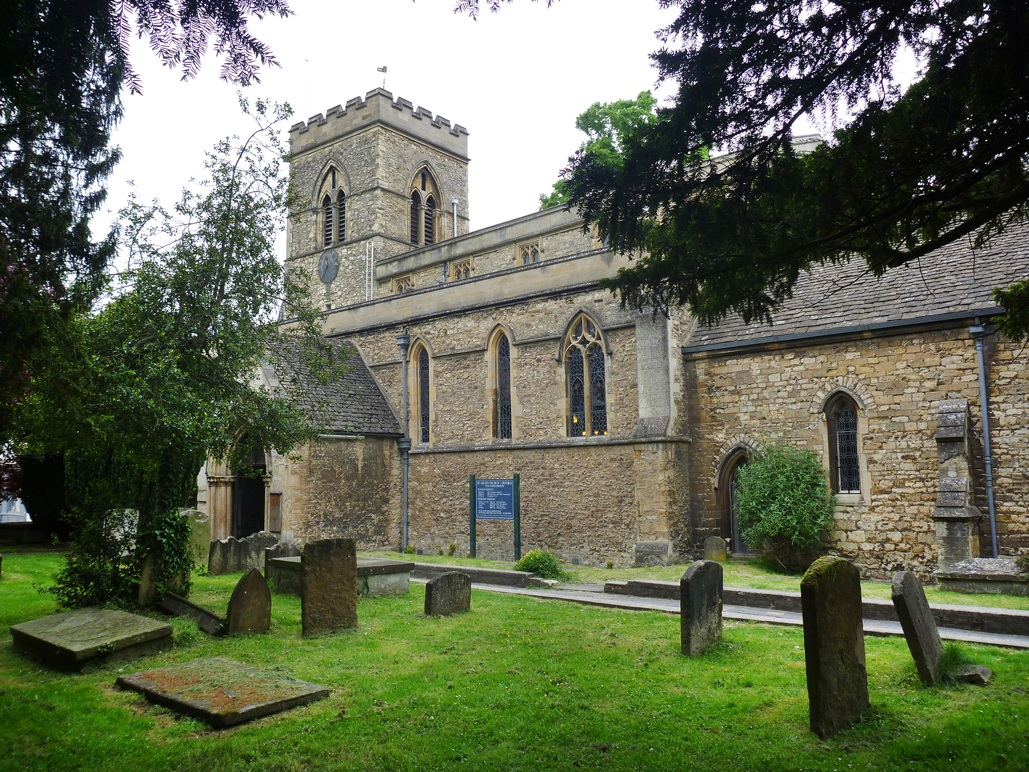
Saint Giles Church Oxford |

Alan McFaden |
Sunday 16th of November 2014 09:30:32 AM |
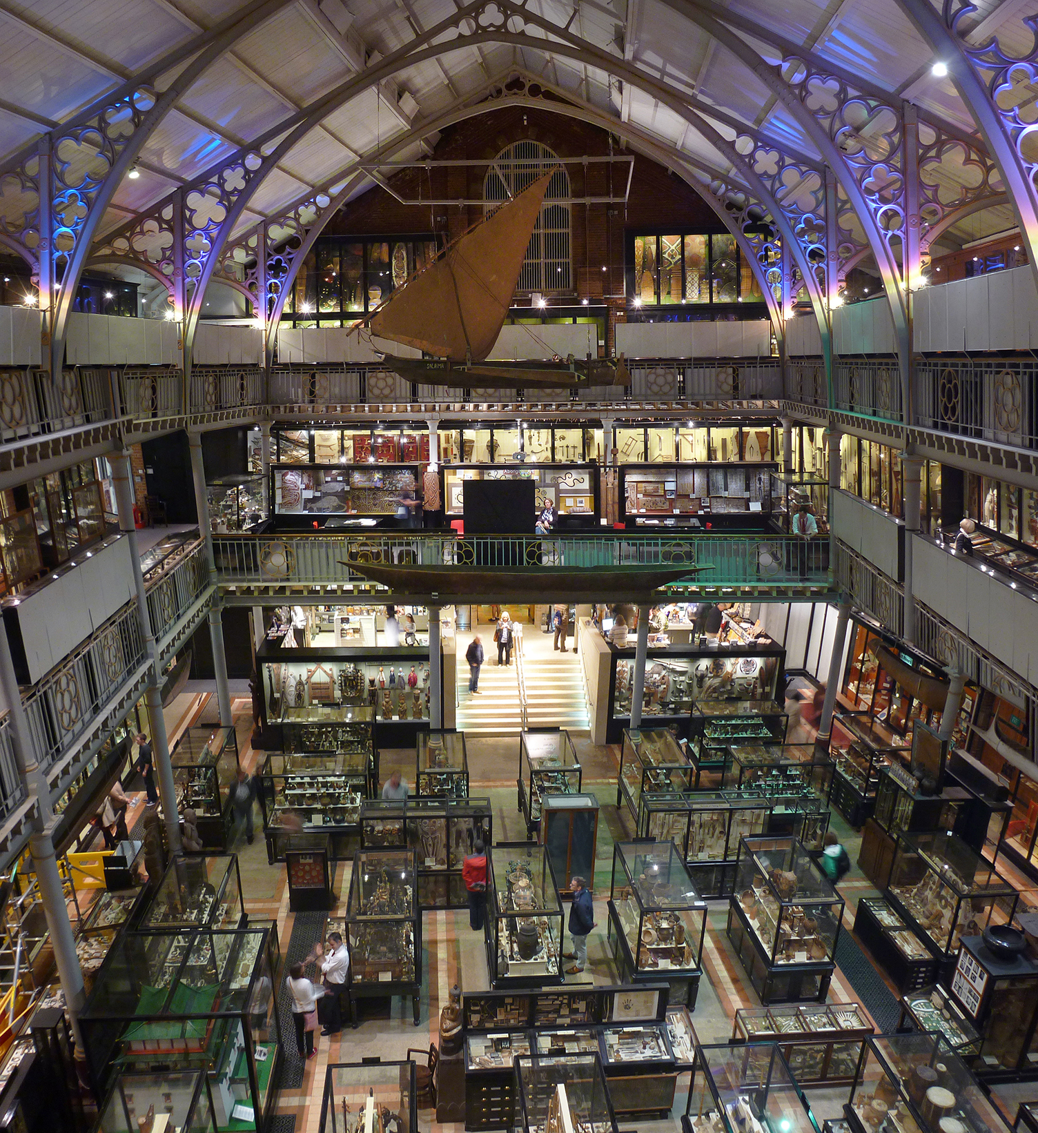
Oxford Pittrivers Museum |
Alan McFaden |
Sunday 16th of November 2014 09:29:42 AM |

Oxford Pittrivers Museum |
Alan McFaden |
Sunday 16th of November 2014 09:29:16 AM |
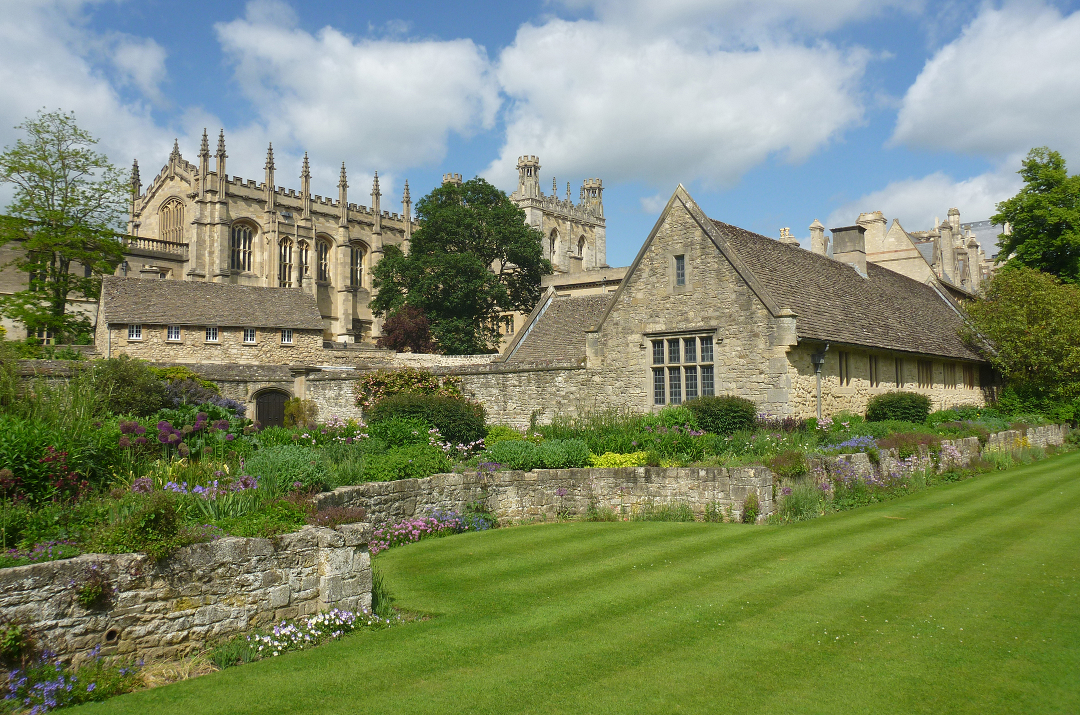
Oxford Christ Church Memorial Garden |
Alan McFaden |
Sunday 16th of November 2014 09:28:18 AM |
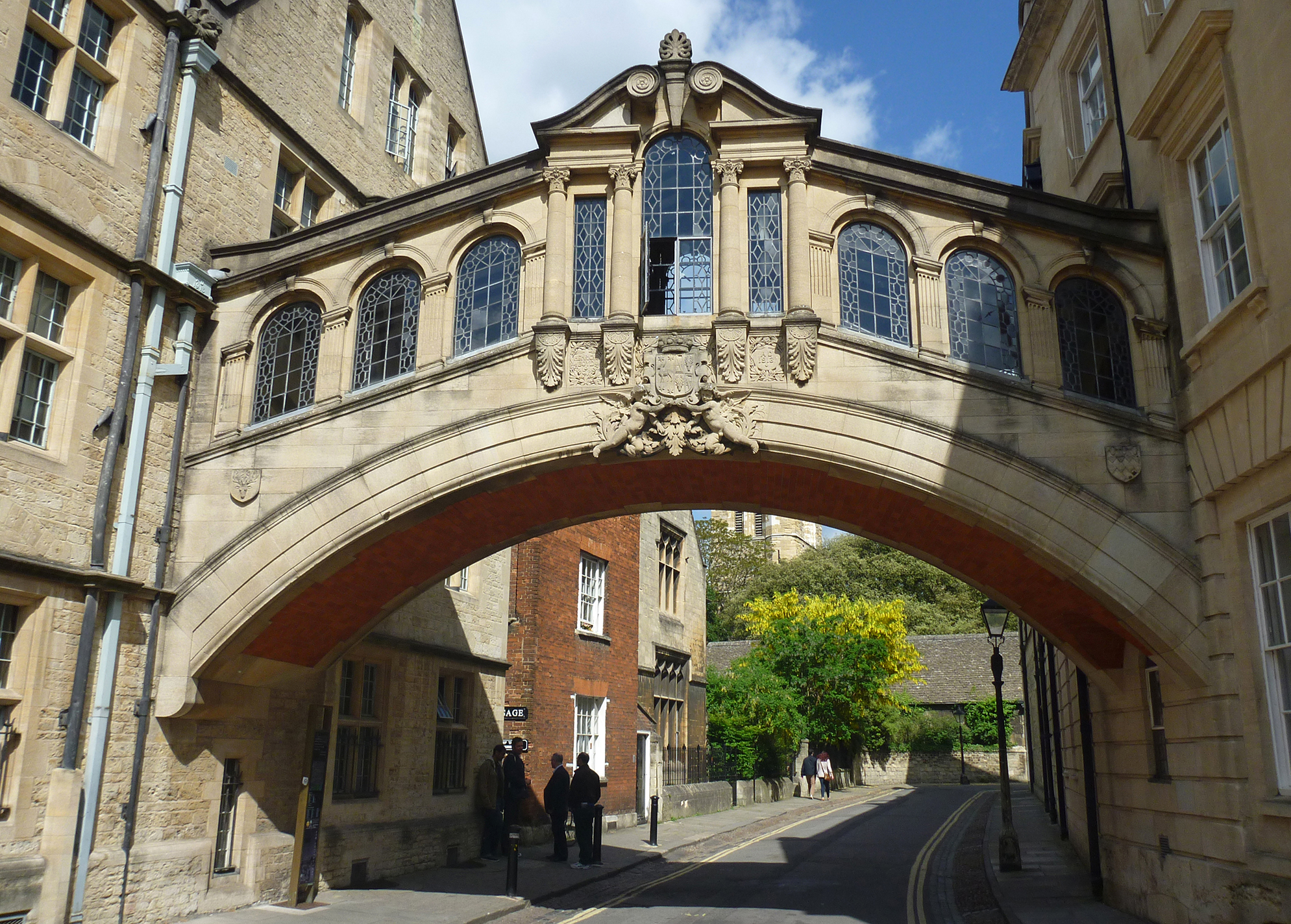
Oxford Bridge of Sighs |
Alan McFaden |
Sunday 16th of November 2014 09:27:47 AM |
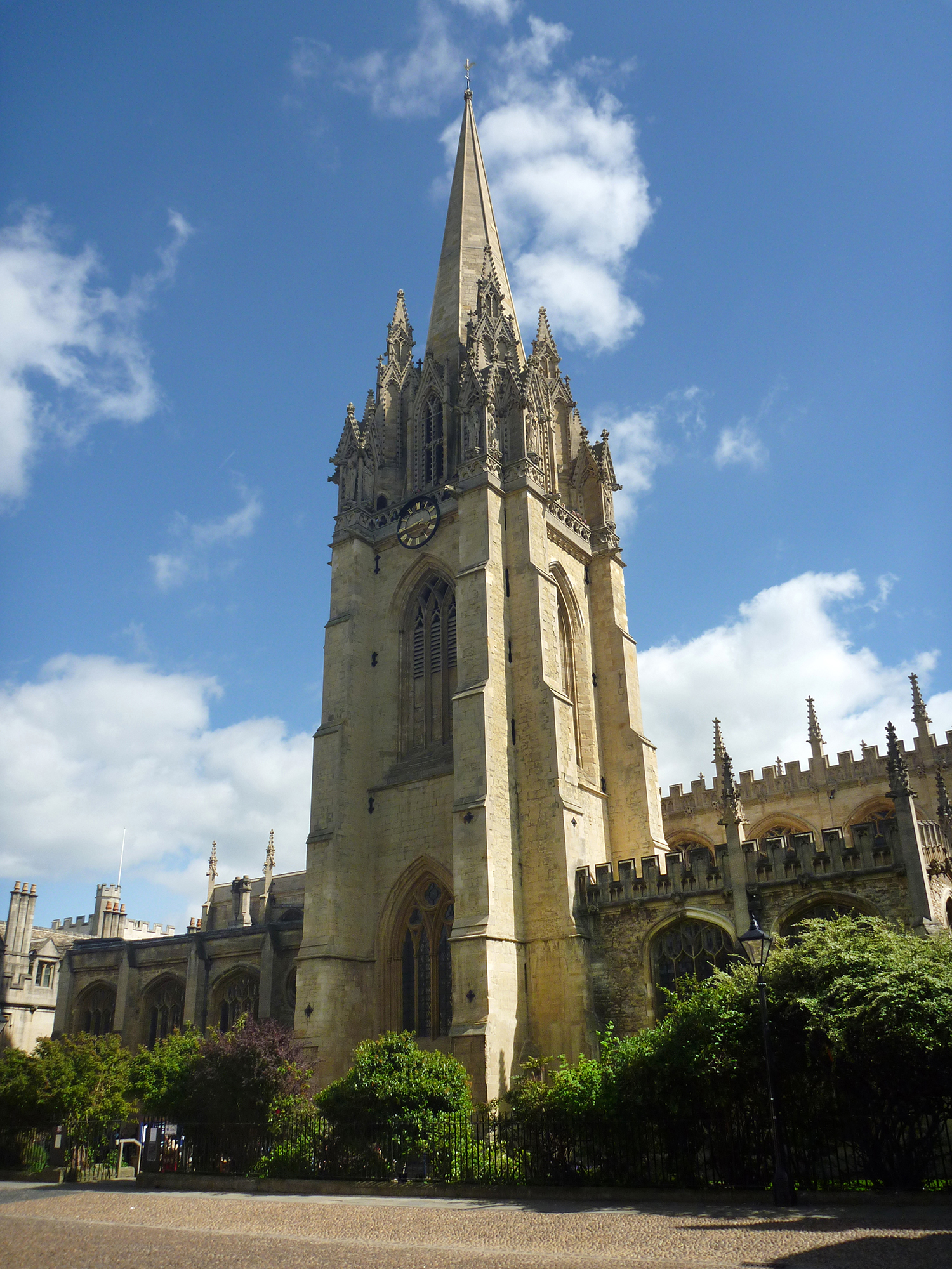
Oxford Saint Mary's Church |
Alan McFaden |
Sunday 16th of November 2014 09:27:21 AM |
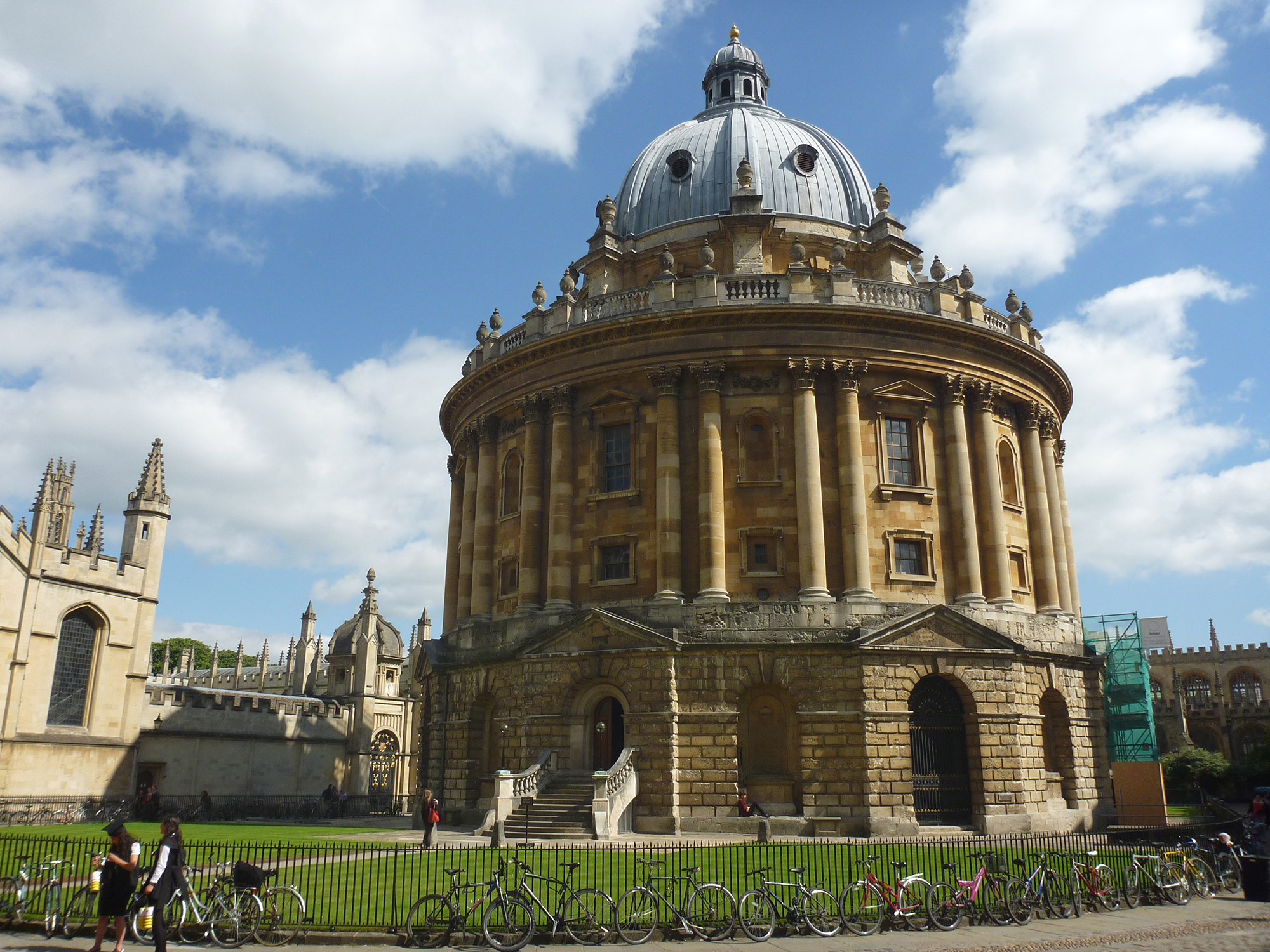
Oxford Radcliffe Camera |
Alan McFaden |
Sunday 16th of November 2014 09:26:52 AM |