
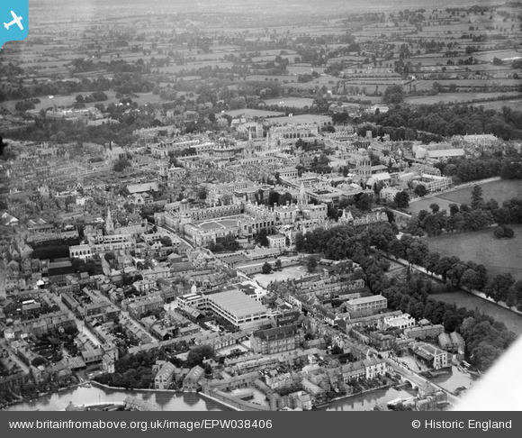
EPW038406 ENGLAND (1932). St Aldate's Street and the city, Oxford, from the south-west, 1932
© Copyright OpenStreetMap contributors and licensed by the OpenStreetMap Foundation. 2026. Cartography is licensed as CC BY-SA.
Nearby Images (13)
EPW038406

EAW014894

EPW000821

EAW003606

EAW014895

EPW000829

EPW022530

EPW038407

EAW047926

EPW000824

EPW000843

EPW017839

EPW000836

Details
| Title | [EPW038406] St Aldate's Street and the city, Oxford, from the south-west, 1932 |
| Reference | EPW038406 |
| Date | June-1932 |
| Link | |
| Place name | OXFORD |
| Parish | |
| District | |
| Country | ENGLAND |
| Easting / Northing | 451368, 205707 |
| Longitude / Latitude | -1.2558535101507, 51.747248489153 |
| National Grid Reference | SP514057 |
Pins

Memory Lane |
Thursday 7th of March 2013 03:27:21 PM |