
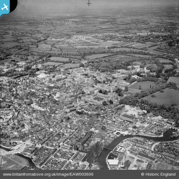
EAW003606 ENGLAND (1947). The city, Oxford, from the south-west, 1947
© Copyright OpenStreetMap contributors and licensed by the OpenStreetMap Foundation. 2026. Cartography is licensed as CC BY-SA.
Nearby Images (9)
EAW003606

EAW014895

EPW000821

EPW038406

EPW000829

EAW014894

EPW017839

EAW047925

EPW052774

Details
| Title | [EAW003606] The city, Oxford, from the south-west, 1947 |
| Reference | EAW003606 |
| Date | March-1947 |
| Link | |
| Place name | OXFORD |
| Parish | |
| District | |
| Country | ENGLAND |
| Easting / Northing | 451213, 205785 |
| Longitude / Latitude | -1.2580872366393, 51.747964009742 |
| National Grid Reference | SP512058 |
Pins

Alan McFaden |
Sunday 12th of January 2014 07:54:16 PM |

User Comment Contributions
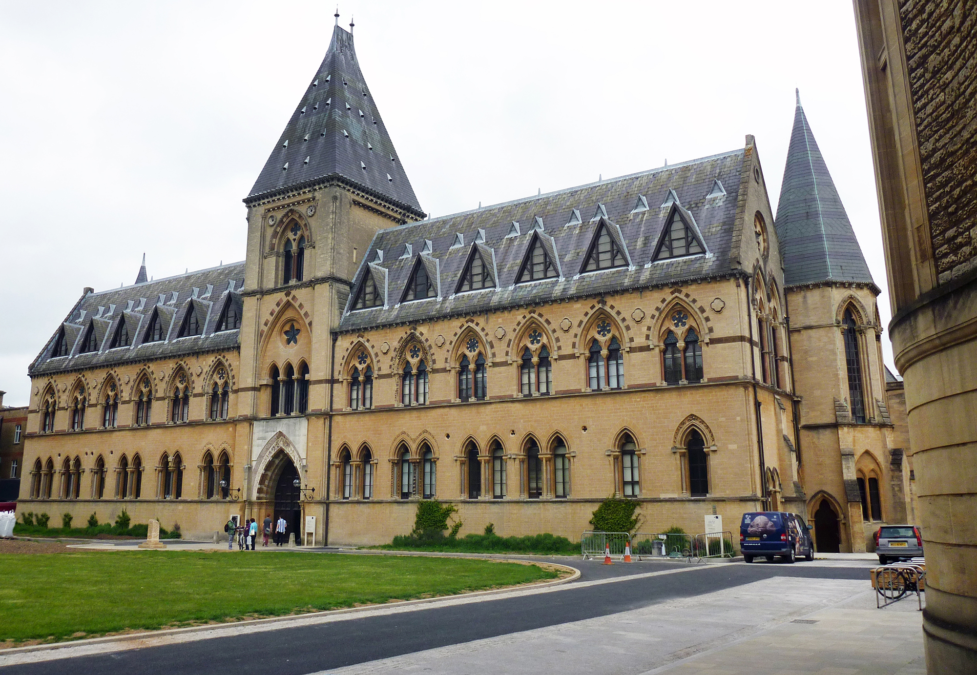
Oxford Pittrivers Museum |
Alan McFaden |
Thursday 20th of November 2014 10:14:46 PM |
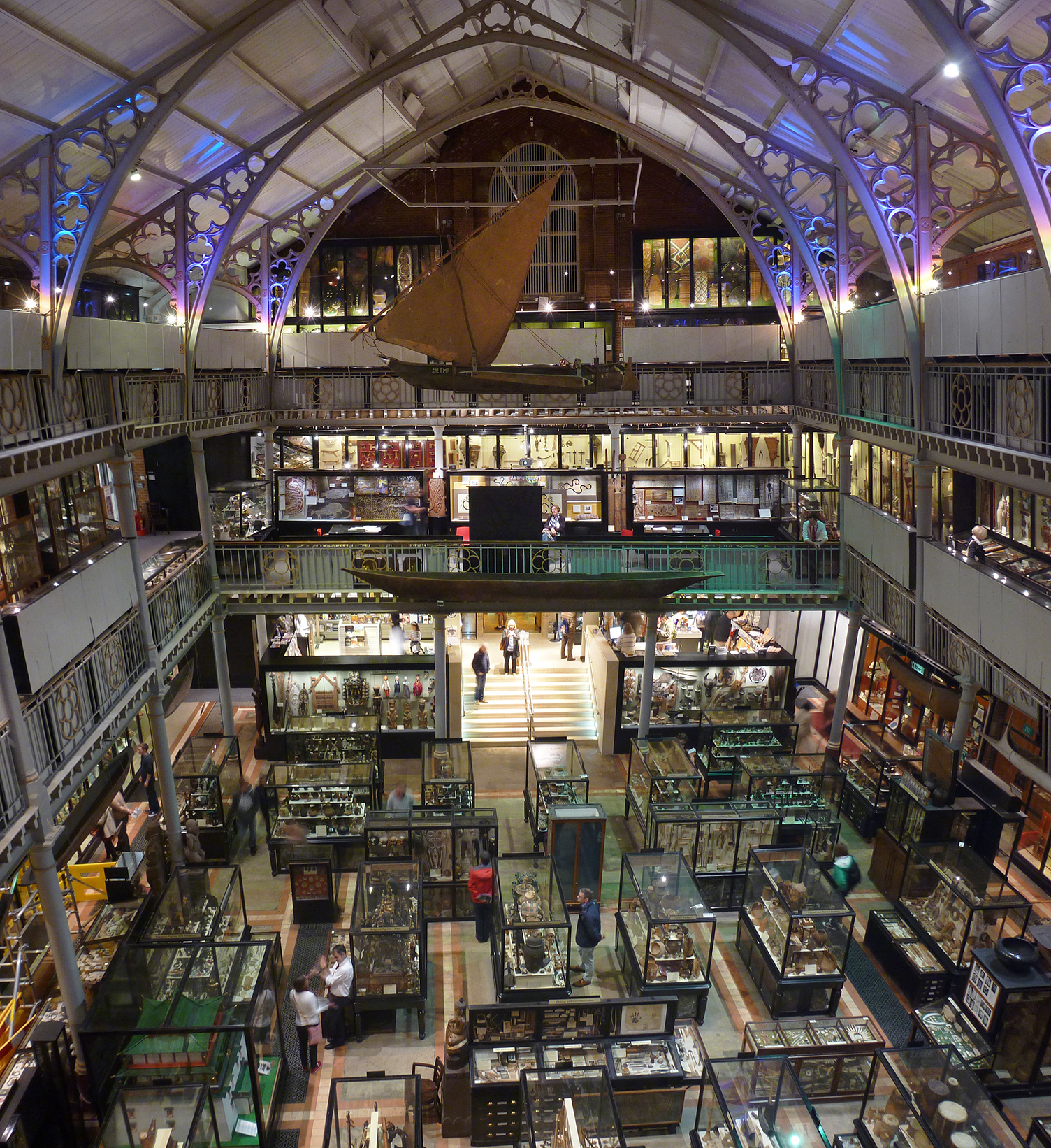
Oxford Pittrivers Museum |
Alan McFaden |
Thursday 20th of November 2014 10:14:16 PM |

Oxford Bridge of Sighs |
Alan McFaden |
Thursday 20th of November 2014 10:13:38 PM |

Christ Church Memorial Garden Oxford |
Alan McFaden |
Thursday 20th of November 2014 10:13:15 PM |
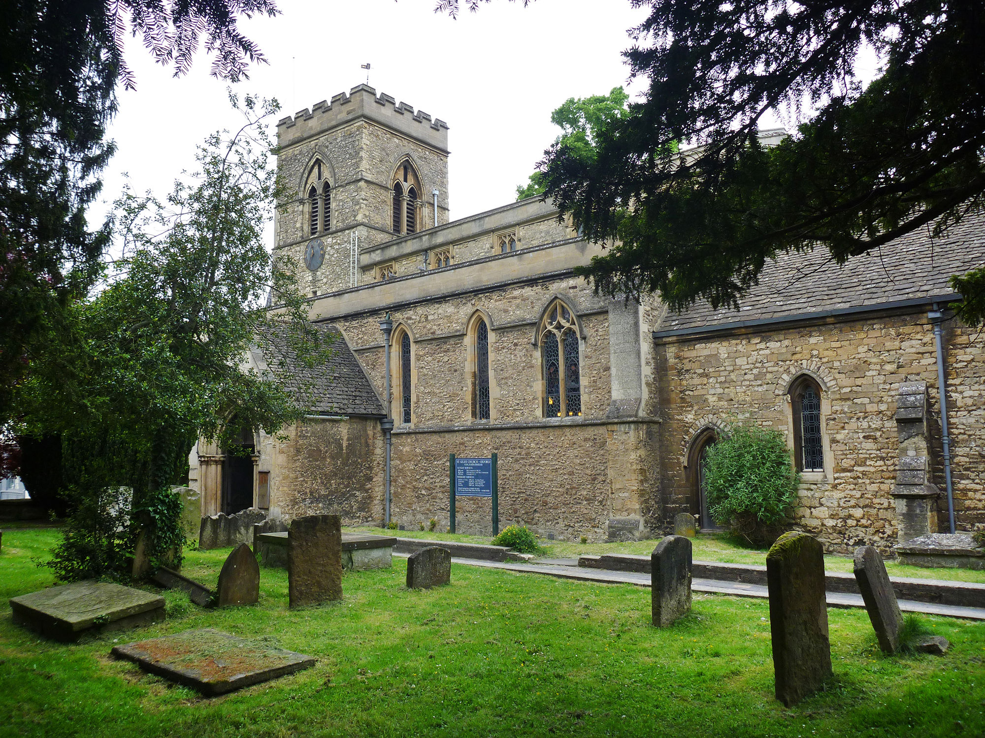
Oxford Saint Giles Church |
Alan McFaden |
Thursday 20th of November 2014 10:12:41 PM |

Oxford Saint Mary's Church |
Alan McFaden |
Thursday 20th of November 2014 10:12:08 PM |