
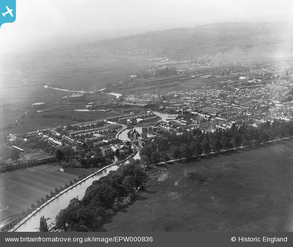
EPW000836 ENGLAND (1920). Grandpont, Oxford, from the south-east, 1920
© Copyright OpenStreetMap contributors and licensed by the OpenStreetMap Foundation. 2026. Cartography is licensed as CC BY-SA.
Nearby Images (11)
EPW000836

EPW038404

EPW000824

EAW003602

EPW000820

EPW038405

EAW047926

EPW038407

EAW014894

EPW048875

EPW038406

Details
| Title | [EPW000836] Grandpont, Oxford, from the south-east, 1920 |
| Reference | EPW000836 |
| Date | May-1920 |
| Link | |
| Place name | OXFORD |
| Parish | |
| District | |
| Country | ENGLAND |
| Easting / Northing | 451579, 205489 |
| Longitude / Latitude | -1.2528294611355, 51.745268981406 |
| National Grid Reference | SP516055 |
Pins

Mike Floate |
Friday 12th of February 2016 08:53:38 PM | |

Class31 |
Tuesday 13th of October 2015 05:17:15 PM |
