
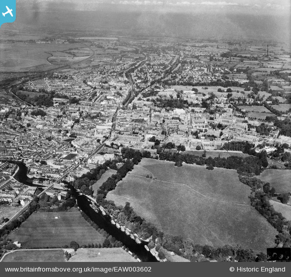
EAW003602 ENGLAND (1947). The city, Oxford, from the south-east, 1947
© Copyright OpenStreetMap contributors and licensed by the OpenStreetMap Foundation. 2026. Cartography is licensed as CC BY-SA.
Nearby Images (8)
EAW003602

EPW000824

EPW000836

EPW038404

EPW000820

EAW047927

EAW014894

EPW038405

Details
| Title | [EAW003602] The city, Oxford, from the south-east, 1947 |
| Reference | EAW003602 |
| Date | March-1947 |
| Link | |
| Place name | OXFORD |
| Parish | |
| District | |
| Country | ENGLAND |
| Easting / Northing | 451657, 205573 |
| Longitude / Latitude | -1.2516871819924, 51.746017068196 |
| National Grid Reference | SP517056 |
Pins
Be the first to add a comment to this image!