
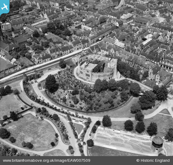
EAW007509 ENGLAND (1947). Tamworth Castle, Tamworth, 1947
© Copyright OpenStreetMap contributors and licensed by the OpenStreetMap Foundation. 2026. Cartography is licensed as CC BY-SA.
Nearby Images (18)
EAW007509

EAW003617

EPW019732

EPW019731

EAW007512

EAW007508

EPW024630

EAW007511

EAW007510

EAW007514

EAW003618

EAW003616

EAW007513

EPW024634

EPW019733

EPW024637

EPW019734

EPW024636

Details
| Title | [EAW007509] Tamworth Castle, Tamworth, 1947 |
| Reference | EAW007509 |
| Date | 3-June-1947 |
| Link | |
| Place name | TAMWORTH |
| Parish | |
| District | |
| Country | ENGLAND |
| Easting / Northing | 420618, 303899 |
| Longitude / Latitude | -1.6953282470382, 52.63210072086 |
| National Grid Reference | SK206039 |
Pins

redmist |
Thursday 25th of March 2021 10:12:23 AM | |

Matt Aldred edob.mattaldred.com |
Friday 12th of March 2021 12:20:03 AM | |

Sparky |
Monday 2nd of October 2017 11:44:53 PM |