
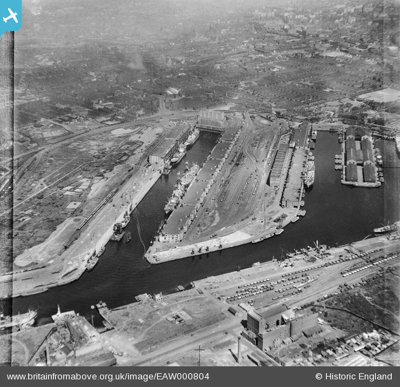
EAW000804 ENGLAND (1946). Salford Docks, Salford, 1946
© Copyright OpenStreetMap contributors and licensed by the OpenStreetMap Foundation. 2026. Cartography is licensed as CC BY-SA.
Nearby Images (19)
EAW000804

EPW027857

EPW028015

EPW027781

EPW017596

EPW027729

EPW045987

EPW028149

EAW021936

EPW027860

EAW021937

EAW021935

EAW006235

EAW017329

EPW019157

EPW028012

EAW050418

EPW028013

EAW050416

Details
| Title | [EAW000804] Salford Docks, Salford, 1946 |
| Reference | EAW000804 |
| Date | 12-May-1946 |
| Link | |
| Place name | SALFORD |
| Parish | |
| District | |
| Country | ENGLAND |
| Easting / Northing | 380666, 397280 |
| Longitude / Latitude | -2.2913050940249, 53.471645535907 |
| National Grid Reference | SJ807973 |
Pins
Be the first to add a comment to this image!