
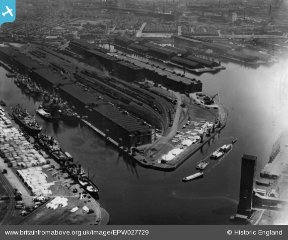
EPW027729 ENGLAND (1929). Salford Docks, Salford, 1929. This image has been produced from a print affected by flare.
© Copyright OpenStreetMap contributors and licensed by the OpenStreetMap Foundation. 2026. Cartography is licensed as CC BY-SA.
Nearby Images (18)
EPW027729

EPW017596

EPW028015

EPW028012

EPW028149

EPW027860

EAW050418

EPW027781

EAW000804

EAW017329

EPW027857

EPW028013

EPW028011

EPW027854

EPW045987

EAW006235

EAW050419

EAW044197
 Flour and Provender Mill, Trafford Park, 1952. This image was marked by Aerofilms Ltd for photo editing.")
Details
| Title | [EPW027729] Salford Docks, Salford, 1929. This image has been produced from a print affected by flare. |
| Reference | EPW027729 |
| Date | June-1929 |
| Link | |
| Place name | SALFORD |
| Parish | |
| District | |
| Country | ENGLAND |
| Easting / Northing | 380573, 397176 |
| Longitude / Latitude | -2.2926998712196, 53.470707215813 |
| National Grid Reference | SJ806972 |
Pins
Be the first to add a comment to this image!