Prydain oddi Fry Cymraeg | English  Mewngofnod | Cofrestru
  • Hafan
  • Gwaddol
  • Ynghylch
  • Map
  • Orielau
  • Grwpiau
  • Cymorth
  • Gweithgaredd Diweddaraf
  • Saved Images
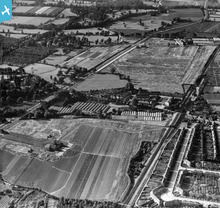
[EPW057801] Nursery at Turkey Street, Enfield, 1938. This image has been produced from a print.
[EAW007151] Construction of works and housing off Bilton Way and the Brimsdown industrial estate, Enfield, 1947
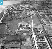
[EAW004478] Bilton Way, Enfield Power Station, King George's Reservoir and environs, Brimsdown, from the north-west, 1947
[EPW053170] Housing around The Fairway and the Examination and Cleaning Sheds between Cockfosters and Enfield West (Oakwood) Underground Stations, Cockfosters, from the south, 1937
[EAW000009] Enfield Island Village looking towards Brimsdown Power Station and environs, Brimsdown, from the north-east, 1946
[EAW000006] The Small River Lea, Brimsdown Power Station and environs, Enfield, from the north, 1946
[EPW017345] The Enfield Cable Works, Brimsdown, 1926
Tilerman ychwanegodd bin at ddelwedd EPW053171 - "Masefield mCrescent"
2 years yn ôl
Tilerman ychwanegodd bin at ddelwedd EPW053170 - "Merryhills Pub. Now gone and a block of flats on the plot. "
3 years yn ôl
Tilerman ychwanegodd bin at ddelwedd EPW057801 - "Site of Capel Manor School"
8 years yn ôl
Tilerman Ymunodd â’r wefan a chreu proffil
8 years yn ôl
Cronfa Dreftadaeth y Loteri
Historic England
Historic Environment Scotland
Foyle Foundation
Comisiwn Brenhinol Henebion Cymru
Ynghylch y Prosiect | Prynu Delweddau | Cysylltu â Ni | Ymholiadau | Hygyrchedd | RhG a Chyfreithiol | Privacy Notice | Cwcis
© Historic Environment Scotland. Rhif elusen yr Alban SC045925.