
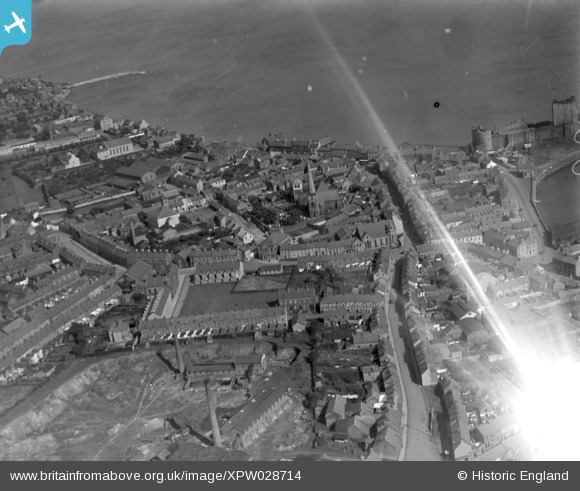
XPW028714 NORTHERN IRELAND (1929). General View, Carrickfergus, Carrickfergus, Northern Ireland, 1929. Oblique aerial photograph taken facing East.
© Hawlfraint cyfranwyr OpenStreetMap a thrwyddedwyd gan yr OpenStreetMap Foundation. 2026. Trwyddedir y gartograffeg fel CC BY-SA.
Delweddau cyfagos (5)
XPW028714

XPW028709

XPW028711

XPW015529

XAW019159

Manylion
| Pennawd | [XPW028714] General View, Carrickfergus, Carrickfergus, Northern Ireland, 1929. Oblique aerial photograph taken facing East. |
| Cyfeirnod | XPW028714 |
| Dyddiad | 1929 |
| Dolen | |
| Enw lle | CARRICKFERGUS |
| Plwyf | NORTHERN IRELAND |
| Ardal | |
| Gwlad | NORTHERN IRELAND |
| Dwyreiniad / Gogleddiad | 154788, 542183 |
| Hydred / Lledred | -5.808688, 54.714718 |
| Cyfeirnod Grid Cenedlaethol |
Pinnau

IntrepidExplorer82 |
Wednesday 30th of December 2020 10:53:01 PM | |
|
stephen@hbkarchitects.com |
Wednesday 15th of January 2020 11:06:52 PM | |
|
stephen@hbkarchitects.com |
Wednesday 15th of January 2020 11:06:28 PM |
Cyfraniadau Grŵp

1929 |
Valerie |
Monday 13th of October 2014 11:05:10 PM |