
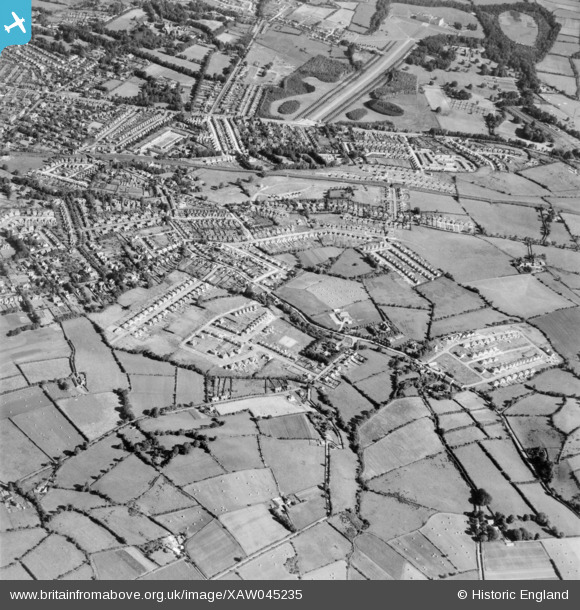
XAW045235 NORTHERN IRELAND (1952). General View, Gilnahirk, Castlereagh, Northern Ireland, 1952. Oblique aerial photograph taken facing North.
© Hawlfraint cyfranwyr OpenStreetMap a thrwyddedwyd gan yr OpenStreetMap Foundation. 2026. Trwyddedir y gartograffeg fel CC BY-SA.
Delweddau cyfagos (3)
XAW045235

XAW045228

XAW045229

Manylion
| Pennawd | [XAW045235] General View, Gilnahirk, Castlereagh, Northern Ireland, 1952. Oblique aerial photograph taken facing North. |
| Cyfeirnod | XAW045235 |
| Dyddiad | 1952 |
| Dolen | |
| Enw lle | GILNAHIRK |
| Plwyf | NORTHERN IRELAND |
| Ardal | |
| Gwlad | NORTHERN IRELAND |
| Dwyreiniad / Gogleddiad | 152124, 528377 |
| Hydred / Lledred | -5.83825, 54.589619 |
| Cyfeirnod Grid Cenedlaethol |
Pinnau
Byddwch y cyntaf i ychwanegu sylw at y ddelwedd hon!