
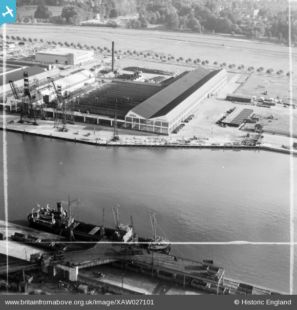
XAW027101 IRELAND (1949). Messrs. A.E. Farr Ltd., Station Road, Cork, Cork, Ireland, 1949. Oblique aerial photograph taken facing South/East. This image was marked by Aerofilms Ltd for photo editing.
© Hawlfraint cyfranwyr OpenStreetMap a thrwyddedwyd gan yr OpenStreetMap Foundation. 2026. Trwyddedir y gartograffeg fel CC BY-SA.
Delweddau cyfagos (17)
XAW027101

XAW027102

XAW027100

XAW027097

XAW027099

XAW027095

XAW027098

XAW027096

XAW027103

XPW042449

XAW045008

XAW045013

XAW045007

XAW045012

XAW045006

XAW045005

XAW052107DUP

Manylion
| Pennawd | [XAW027101] Messrs. A.E. Farr Ltd., Station Road, Cork, Cork, Ireland, 1949. Oblique aerial photograph taken facing South/East. This image was marked by Aerofilms Ltd for photo editing. |
| Cyfeirnod | XAW027101 |
| Dyddiad | 4-October-1949 |
| Dolen | |
| Enw lle | CORK |
| Plwyf | IRELAND |
| Ardal | |
| Gwlad | IRELAND |
| Dwyreiniad / Gogleddiad | -43595, 242106 |
| Hydred / Lledred | -8.45179, 51.900243 |
| Cyfeirnod Grid Cenedlaethol |
Pinnau

Maurice |
Saturday 2nd of May 2015 08:15:57 PM | |
|
Maurice |
Saturday 2nd of May 2015 08:07:55 PM | |

powerpop |
Saturday 2nd of May 2015 06:23:29 PM | |
|
powerpop |
Saturday 2nd of May 2015 06:22:34 PM |