
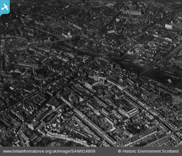
SAW014809 SCOTLAND (1948). Aberdeen, general view, showing Union Terrace Gardens and Kirk of St Nicholas, Union Street. An oblique aerial photograph taken facing north-east. This image has been produced from a print.
© Hawlfraint cyfranwyr OpenStreetMap a thrwyddedwyd gan yr OpenStreetMap Foundation. 2026. Trwyddedir y gartograffeg fel CC BY-SA.
Delweddau cyfagos (11)
SAW014809

SAW019610

SAW022821

SAW022818

SAW022822

SAW022827

SAW019609

SAW022819

SAW022820

SAW022825

SAW022826

Manylion
| Pennawd | [SAW014809] Aberdeen, general view, showing Union Terrace Gardens and Kirk of St Nicholas, Union Street. An oblique aerial photograph taken facing north-east. This image has been produced from a print. |
| Cyfeirnod | SAW014809 |
| Dyddiad | 1948 |
| Dolen | NRHE Collection item 1314733 |
| Enw lle | |
| Plwyf | ABERDEEN |
| Ardal | CITY OF ABERDEEN |
| Gwlad | SCOTLAND |
| Dwyreiniad / Gogleddiad | 393871, 805951 |
| Hydred / Lledred | -2.1012954164597, 57.144593603237 |
| Cyfeirnod Grid Cenedlaethol | NJ939060 |
Pinnau
Byddwch y cyntaf i ychwanegu sylw at y ddelwedd hon!