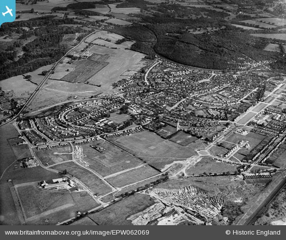
EPW062069 ENGLAND (1939). Handside, Welwyn Garden City, from the south-east, 1939
© Hawlfraint cyfranwyr OpenStreetMap a thrwyddedwyd gan yr OpenStreetMap Foundation. 2026. Trwyddedir y gartograffeg fel CC BY-SA.
Manylion
| Pennawd | [EPW062069] Handside, Welwyn Garden City, from the south-east, 1939 |
| Cyfeirnod | EPW062069 |
| Dyddiad | 28-June-1939 |
| Dolen | |
| Enw lle | WELWYN GARDEN CITY |
| Plwyf | |
| Ardal | |
| Gwlad | ENGLAND |
| Dwyreiniad / Gogleddiad | 523179, 211933 |
| Hydred / Lledred | -0.21373553486766, 51.792019815807 |
| Cyfeirnod Grid Cenedlaethol | TL232119 |
Pinnau

John G. |
Friday 13th of August 2021 11:35:40 AM | |

John G. |
Friday 13th of August 2021 11:32:15 AM | |

John G. |
Friday 13th of August 2021 11:28:39 AM |


![[EPW062069] Handside, Welwyn Garden City, from the south-east, 1939](http://britainfromabove.org.uk/sites/all/libraries/aerofilms-images/public/100x100/EPW/062/EPW062069.jpg)
![[EAW041979] Parkway and construction work around Colgrove, Handside, 1952](http://britainfromabove.org.uk/sites/all/libraries/aerofilms-images/public/100x100/EAW/041/EAW041979.jpg)