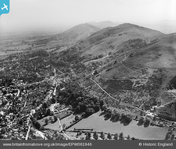
EPW061946 ENGLAND (1939). The Malvern Hills, Great Malvern, 1939
    © Hawlfraint cyfranwyr OpenStreetMap a thrwyddedwyd gan yr OpenStreetMap Foundation. 2025. Trwyddedir y gartograffeg fel CC BY-SA.
  
Delweddau cyfagos (7)
Manylion
| Pennawd | [EPW061946] The Malvern Hills, Great Malvern, 1939 | 
| Cyfeirnod | EPW061946 | 
| Dyddiad | 8-July-1939 | 
| Dolen | |
| Enw lle | GREAT MALVERN | 
| Plwyf | MALVERN | 
| Ardal | |
| Gwlad | ENGLAND | 
| Dwyreiniad / Gogleddiad | 377268, 246051 | 
| Hydred / Lledred | -2.3319870084788, 52.111903777628 | 
| Cyfeirnod Grid Cenedlaethol | SO773461 | 
 
             
  ![[EPW061946] The Malvern Hills, Great Malvern, 1939](http://britainfromabove.org.uk/sites/all/libraries/aerofilms-images/public/100x100/EPW/061/EPW061946.jpg) 
  
                                          ![[EAW006884] The northern end of the Malvern Hills and the town, Great Malvern, 1947](http://britainfromabove.org.uk/sites/all/libraries/aerofilms-images/public/100x100/EAW/006/EAW006884.jpg) 
 ![[EPW041843] The town centre, Great Malvern, 1933](http://britainfromabove.org.uk/sites/all/libraries/aerofilms-images/public/100x100/EPW/041/EPW041843.jpg) 
 ![[EPW061950] North Hill and Green Valley, Great Malvern, 1939](http://britainfromabove.org.uk/sites/all/libraries/aerofilms-images/public/100x100/EPW/061/EPW061950.jpg) 
 ![[EAW006883] North Hill and the town, Great Malvern, 1947](http://britainfromabove.org.uk/sites/all/libraries/aerofilms-images/public/100x100/EAW/006/EAW006883.jpg) 
 ![[EPW033920] The town centre seen through Green Valley, Great Malvern, from the west, 1930](http://britainfromabove.org.uk/sites/all/libraries/aerofilms-images/public/100x100/EPW/033/EPW033920.jpg) 
 ![[EPW041840] The Priory Church of St Mary and environs, Great Malvern, 1933](http://britainfromabove.org.uk/sites/all/libraries/aerofilms-images/public/100x100/EPW/041/EPW041840.jpg) 
  Ivy Scar Rock
 Ivy Scar Rock 
