
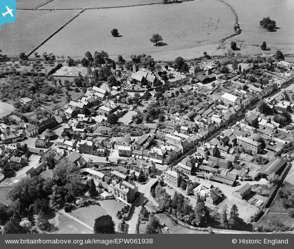
EPW061938 ENGLAND (1939). The town centre, Tenbury Wells, 1939
© Hawlfraint cyfranwyr OpenStreetMap a thrwyddedwyd gan yr OpenStreetMap Foundation. 2026. Trwyddedir y gartograffeg fel CC BY-SA.
Delweddau cyfagos (3)
EPW061938

EPW061939

EPW061725

Manylion
| Pennawd | [EPW061938] The town centre, Tenbury Wells, 1939 |
| Cyfeirnod | EPW061938 |
| Dyddiad | 10-June-1939 |
| Dolen | |
| Enw lle | TENBURY WELLS |
| Plwyf | TENBURY |
| Ardal | |
| Gwlad | ENGLAND |
| Dwyreiniad / Gogleddiad | 359522, 268329 |
| Hydred / Lledred | -2.5938095327095, 52.311189408445 |
| Cyfeirnod Grid Cenedlaethol | SO595683 |
Pinnau

totoro |
Sunday 15th of September 2013 06:04:42 PM | |
|
totoro |
Sunday 15th of September 2013 06:03:48 PM | |
|
totoro |
Sunday 15th of September 2013 06:01:38 PM | |
|
totoro |
Sunday 15th of September 2013 06:00:12 PM | |
|
totoro |
Sunday 15th of September 2013 05:59:18 PM | |
|
totoro |
Sunday 15th of September 2013 05:59:01 PM | |
|
totoro |
Sunday 15th of September 2013 05:57:56 PM |