
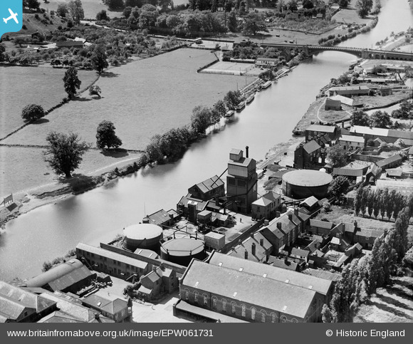
EPW061731 ENGLAND (1939). The Gas Works, Stourport-on-Severn, 1939
© Hawlfraint cyfranwyr OpenStreetMap a thrwyddedwyd gan yr OpenStreetMap Foundation. 2026. Trwyddedir y gartograffeg fel CC BY-SA.
Delweddau cyfagos (11)
EPW061731

EPW061728

EPW061730

EPW061729

EPW041761

EPW015082

EPW041758

EAW013582

EPW015081

EPW041763

EPW015083

Manylion
| Pennawd | [EPW061731] The Gas Works, Stourport-on-Severn, 1939 |
| Cyfeirnod | EPW061731 |
| Dyddiad | 10-June-1939 |
| Dolen | |
| Enw lle | STOURPORT-ON-SEVERN |
| Plwyf | STOURPORT-ON-SEVERN |
| Ardal | |
| Gwlad | ENGLAND |
| Dwyreiniad / Gogleddiad | 381147, 270870 |
| Hydred / Lledred | -2.2767210432821, 52.335204595746 |
| Cyfeirnod Grid Cenedlaethol | SO811709 |
Pinnau
Byddwch y cyntaf i ychwanegu sylw at y ddelwedd hon!