
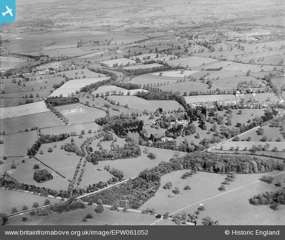
EPW061052 ENGLAND (1939). Wergs Hall and surrounding countryside, Codsall, from the south-west, 1939
© Hawlfraint cyfranwyr OpenStreetMap a thrwyddedwyd gan yr OpenStreetMap Foundation. 2026. Trwyddedir y gartograffeg fel CC BY-SA.
Delweddau cyfagos (7)
EPW061052

EPW061050

EPW061049

EPW061051

EPW061053

EPW061047

EPW061048

Manylion
| Pennawd | [EPW061052] Wergs Hall and surrounding countryside, Codsall, from the south-west, 1939 |
| Cyfeirnod | EPW061052 |
| Dyddiad | 10-May-1939 |
| Dolen | |
| Enw lle | CODSALL |
| Plwyf | CODSALL |
| Ardal | |
| Gwlad | ENGLAND |
| Dwyreiniad / Gogleddiad | 386721, 301462 |
| Hydred / Lledred | -2.1961264325712, 52.610419513108 |
| Cyfeirnod Grid Cenedlaethol | SJ867015 |
Pinnau

totoro |
Friday 20th of June 2014 08:31:21 PM | |
|
totoro |
Friday 20th of June 2014 08:30:51 PM | |
|
totoro |
Friday 20th of June 2014 08:30:10 PM | |
|
totoro |
Friday 20th of June 2014 08:28:46 PM | |
|
totoro |
Friday 20th of June 2014 08:27:55 PM | |
|
totoro |
Friday 20th of June 2014 08:26:26 PM | |
|
totoro |
Friday 20th of June 2014 08:25:08 PM | |
|
totoro |
Friday 20th of June 2014 08:22:03 PM | |
|
totoro |
Friday 20th of June 2014 08:20:09 PM |