
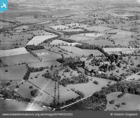
EPW061051 ENGLAND (1939). Wergs Hall and surrounding countryside, Codsall, from the west, 1939
© Hawlfraint cyfranwyr OpenStreetMap a thrwyddedwyd gan yr OpenStreetMap Foundation. 2026. Trwyddedir y gartograffeg fel CC BY-SA.
Delweddau cyfagos (7)
EPW061051

EPW061047

EPW061050

EPW061052

EPW061053

EPW061049

EPW061048

Manylion
| Pennawd | [EPW061051] Wergs Hall and surrounding countryside, Codsall, from the west, 1939 |
| Cyfeirnod | EPW061051 |
| Dyddiad | 10-May-1939 |
| Dolen | |
| Enw lle | CODSALL |
| Plwyf | CODSALL |
| Ardal | |
| Gwlad | ENGLAND |
| Dwyreiniad / Gogleddiad | 386786, 301566 |
| Hydred / Lledred | -2.1951705674113, 52.611356137257 |
| Cyfeirnod Grid Cenedlaethol | SJ868016 |
Pinnau

totoro |
Friday 20th of June 2014 08:30:20 PM | |
|
totoro |
Friday 20th of June 2014 08:28:56 PM | |
|
totoro |
Friday 20th of June 2014 08:28:04 PM | |
|
totoro |
Friday 20th of June 2014 08:26:10 PM | |
|
totoro |
Friday 20th of June 2014 08:24:56 PM | |
|
totoro |
Friday 20th of June 2014 08:22:32 PM | |
|
totoro |
Friday 20th of June 2014 08:22:17 PM |