
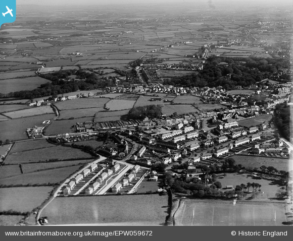
EPW059672 ENGLAND (1938). Residential area between Camborne Park and College Street, Camborne, from the south-west, 1938
© Hawlfraint cyfranwyr OpenStreetMap a thrwyddedwyd gan yr OpenStreetMap Foundation. 2026. Trwyddedir y gartograffeg fel CC BY-SA.
Delweddau cyfagos (2)
EPW059672

EPW039767

Manylion
| Pennawd | [EPW059672] Residential area between Camborne Park and College Street, Camborne, from the south-west, 1938 |
| Cyfeirnod | EPW059672 |
| Dyddiad | 15-September-1938 |
| Dolen | |
| Enw lle | CAMBORNE |
| Plwyf | CAMBORNE |
| Ardal | |
| Gwlad | ENGLAND |
| Dwyreiniad / Gogleddiad | 164144, 40106 |
| Hydred / Lledred | -5.3062876041789, 50.213251349873 |
| Cyfeirnod Grid Cenedlaethol | SW641401 |
Pinnau
Byddwch y cyntaf i ychwanegu sylw at y ddelwedd hon!
Cyfraniadau Grŵp
I would love to see the view of manor road Camborne before the council houses were built in 1927, to see how it looked, think it had a manor house but not sure, I live at the top of manor road and would just love to see it in the 1900-1920 |

lynnylou1961 |
Monday 18th of August 2014 05:41:08 PM |
Your best bet to find earlier photos is at the county record office, Truro Museum, or a district/town archive. They will also have the older Ordnance Survey maps, which you can also access for free via the National Library of Scotland website. |
Katy Whitaker |
Monday 18th of August 2014 05:41:08 PM |