
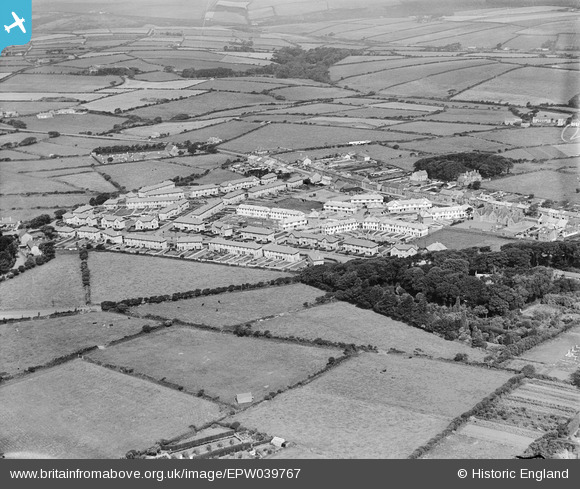
EPW039767 ENGLAND (1932). Housing surrounding The Glebe and Manor Road, Camborne, 1932
© Hawlfraint cyfranwyr OpenStreetMap a thrwyddedwyd gan yr OpenStreetMap Foundation. 2026. Trwyddedir y gartograffeg fel CC BY-SA.
Delweddau cyfagos (2)
EPW039767

EPW059672

Manylion
| Pennawd | [EPW039767] Housing surrounding The Glebe and Manor Road, Camborne, 1932 |
| Cyfeirnod | EPW039767 |
| Dyddiad | August-1932 |
| Dolen | |
| Enw lle | CAMBORNE |
| Plwyf | CAMBORNE |
| Ardal | |
| Gwlad | ENGLAND |
| Dwyreiniad / Gogleddiad | 164236, 40049 |
| Hydred / Lledred | -5.3049648078359, 50.212776183335 |
| Cyfeirnod Grid Cenedlaethol | SW642400 |
