
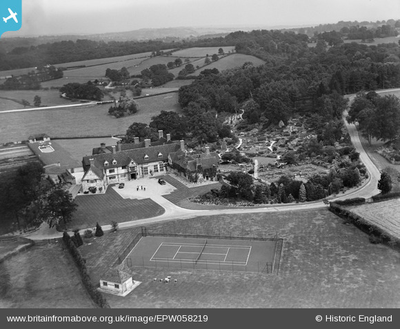
EPW058219 ENGLAND (1938). The Homestall (Stoke Brunswick School), Forest Row, from the west, 1938
© Hawlfraint cyfranwyr OpenStreetMap a thrwyddedwyd gan yr OpenStreetMap Foundation. 2026. Trwyddedir y gartograffeg fel CC BY-SA.
Delweddau cyfagos (18)
EPW058219
, Forest Row, from the west, 1938")
EPW058217
, Forest Row, from the west, 1938")
EPW033847

EPW058215
, Forest Row, 1938")
EPW057651
 and the surrounding countryside, Forest Row, from the north-west, 1938. This image has been produced from a damaged negative.")
EPW058218
, Forest Row, 1938")
EPW057652
, Forest Row, 1938. This image has been produced from a damaged negative.")
EPW033853

EPW058216
, Forest Row, 1938")
EPW033848

EPW058221
 and surrounding countryside, Forest Row, from the south-west, 1938")
EPW033851

EPW033852

EPW057653
, Forest Row, 1938. This image has been produced from a damaged negative.")
EPW033850

EPW057654
, Forest Row, 1938. This image has been produced from a damaged negative.")
EPW033849

EPW058220
, Forest Row, 1938")
Manylion
| Pennawd | [EPW058219] The Homestall (Stoke Brunswick School), Forest Row, from the west, 1938 |
| Cyfeirnod | EPW058219 |
| Dyddiad | 23-July-1938 |
| Dolen | |
| Enw lle | FOREST ROW |
| Plwyf | FOREST ROW |
| Ardal | |
| Gwlad | ENGLAND |
| Dwyreiniad / Gogleddiad | 542120, 137446 |
| Hydred / Lledred | 0.030823328332066, 51.118124901331 |
| Cyfeirnod Grid Cenedlaethol | TQ421374 |
Pinnau

totoro |
Monday 22nd of July 2013 09:42:46 PM |