
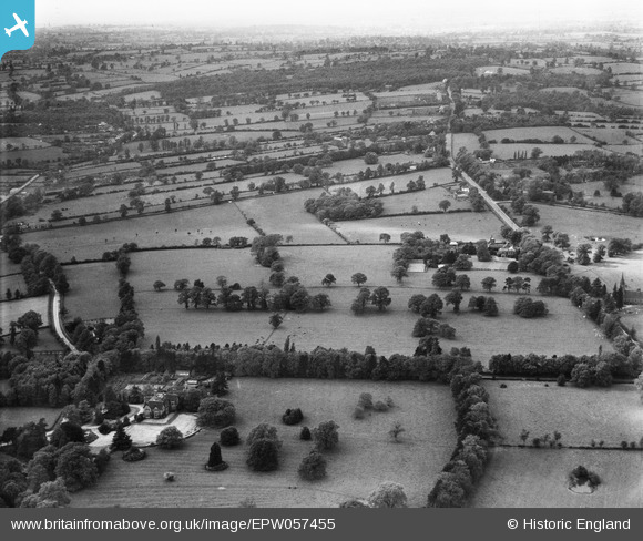
EPW057455 ENGLAND (1938). Keresley Grange, Coundon Hall and surrounding countryside, Coundon, from the south-east, 1938
© Hawlfraint cyfranwyr OpenStreetMap a thrwyddedwyd gan yr OpenStreetMap Foundation. 2025. Trwyddedir y gartograffeg fel CC BY-SA.
Delweddau cyfagos (8)
EPW057455

EPW057456

EPW057452

EPW057457

EPW057458

EPW057454

EPW057453

EPW057451

Manylion
| Pennawd | [EPW057455] Keresley Grange, Coundon Hall and surrounding countryside, Coundon, from the south-east, 1938 |
| Cyfeirnod | EPW057455 |
| Dyddiad | 7-June-1938 |
| Dolen | |
| Enw lle | COUNDON |
| Plwyf | |
| Ardal | |
| Gwlad | ENGLAND |
| Dwyreiniad / Gogleddiad | 431414, 282384 |
| Hydred / Lledred | -1.5378361448068, 52.438149720673 |
| Cyfeirnod Grid Cenedlaethol | SP314824 |
Pinnau

RayG |
Monday 6th of February 2023 11:33:46 PM | |
|
OBoogie |
Saturday 24th of August 2013 10:54:00 PM | |
|
SteveBo |
Saturday 24th of August 2013 04:33:38 PM | |
|
SteveBo |
Saturday 24th of August 2013 04:32:21 PM | |
|
SteveBo |
Saturday 24th of August 2013 04:31:45 PM | |
|
SteveBo |
Saturday 24th of August 2013 04:31:15 PM | |
|
SteveBo |
Saturday 24th of August 2013 04:30:32 PM | |
|
SteveBo |
Saturday 24th of August 2013 04:29:12 PM | |
|
SteveBo |
Saturday 24th of August 2013 04:27:56 PM |