
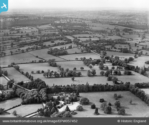
EPW057452 ENGLAND (1938). Keresley Grange, Coundon Hall and surrounding countryside, Coundon, from the south-east, 1938
© Hawlfraint cyfranwyr OpenStreetMap a thrwyddedwyd gan yr OpenStreetMap Foundation. 2025. Trwyddedir y gartograffeg fel CC BY-SA.
Delweddau cyfagos (8)
EPW057452

EPW057455

EPW057456

EPW057457

EPW057453

EPW057458

EPW057454

EPW057451

Manylion
| Pennawd | [EPW057452] Keresley Grange, Coundon Hall and surrounding countryside, Coundon, from the south-east, 1938 |
| Cyfeirnod | EPW057452 |
| Dyddiad | 7-June-1938 |
| Dolen | |
| Enw lle | COUNDON |
| Plwyf | |
| Ardal | |
| Gwlad | ENGLAND |
| Dwyreiniad / Gogleddiad | 431376, 282448 |
| Hydred / Lledred | -1.5383891691644, 52.438727313792 |
| Cyfeirnod Grid Cenedlaethol | SP314824 |
Pinnau

Learoy |
Thursday 16th of October 2025 03:46:13 AM |