
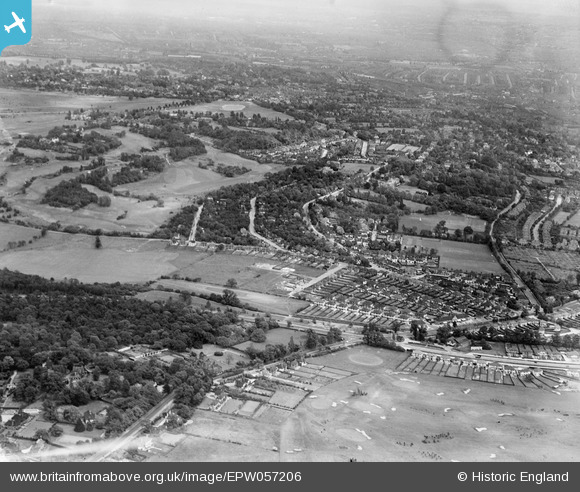
EPW057206 ENGLAND (1938). Copse Hill and environs, Wimbledon, from the south-west, 1938
© Hawlfraint cyfranwyr OpenStreetMap a thrwyddedwyd gan yr OpenStreetMap Foundation. 2025. Trwyddedir y gartograffeg fel CC BY-SA.
Delweddau cyfagos (4)
EPW057206

EPW016630

EPW057213

EPW020678

Manylion
| Pennawd | [EPW057206] Copse Hill and environs, Wimbledon, from the south-west, 1938 |
| Cyfeirnod | EPW057206 |
| Dyddiad | 26-May-1938 |
| Dolen | |
| Enw lle | WIMBLEDON |
| Plwyf | |
| Ardal | |
| Gwlad | ENGLAND |
| Dwyreiniad / Gogleddiad | 521971, 170109 |
| Hydred / Lledred | -0.24579478837557, 51.416366549287 |
| Cyfeirnod Grid Cenedlaethol | TQ220701 |
Pinnau

EB |
Friday 19th of June 2020 02:42:41 AM | |
|
Arthur |
Thursday 9th of June 2016 10:11:36 AM | |
|
Arthur |
Thursday 9th of June 2016 10:09:39 AM | |
|
Arthur |
Thursday 9th of June 2016 10:06:26 AM | |
|
Arthur |
Thursday 9th of June 2016 10:05:37 AM | |
|
Arthur |
Thursday 9th of June 2016 10:03:53 AM | |
|
Arthur |
Thursday 9th of June 2016 09:58:44 AM | |
|
kjc |
Tuesday 15th of October 2013 04:48:02 PM | |
|
kjc |
Tuesday 15th of October 2013 04:47:09 PM | |
|
kjc |
Tuesday 15th of October 2013 04:45:41 PM |