
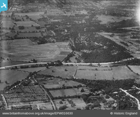
EPW016630 ENGLAND (1926). Maldon Golf Course and Coombe, New Malden, from the east, 1926
© Hawlfraint cyfranwyr OpenStreetMap a thrwyddedwyd gan yr OpenStreetMap Foundation. 2025. Trwyddedir y gartograffeg fel CC BY-SA.
Delweddau cyfagos (3)
EPW016630

EPW057206

EPW057213

Manylion
| Pennawd | [EPW016630] Maldon Golf Course and Coombe, New Malden, from the east, 1926 |
| Cyfeirnod | EPW016630 |
| Dyddiad | August-1926 |
| Dolen | |
| Enw lle | NEW MALDEN |
| Plwyf | |
| Ardal | |
| Gwlad | ENGLAND |
| Dwyreiniad / Gogleddiad | 522053, 170025 |
| Hydred / Lledred | -0.24464497342347, 51.415593871411 |
| Cyfeirnod Grid Cenedlaethol | TQ221700 |
Pinnau

Dom |
Tuesday 7th of April 2020 12:09:51 PM | |
|
Arthur |
Thursday 9th of June 2016 10:43:09 AM | |
|
Arthur |
Thursday 9th of June 2016 10:41:44 AM | |
|
Arthur |
Thursday 9th of June 2016 10:41:10 AM | |
|
Arthur |
Thursday 9th of June 2016 10:39:40 AM | |
|
Arthur |
Thursday 9th of June 2016 10:38:42 AM | |
|
Arthur |
Thursday 9th of June 2016 10:38:25 AM | |
|
Arthur |
Thursday 9th of June 2016 10:37:03 AM | |
|
Arthur |
Thursday 9th of June 2016 10:36:41 AM | |
|
Arthur |
Thursday 9th of June 2016 10:35:45 AM |
Cyfraniadau Grŵp
Malden Golf Course |
royalfixit |
Tuesday 26th of June 2012 07:05:40 AM |