
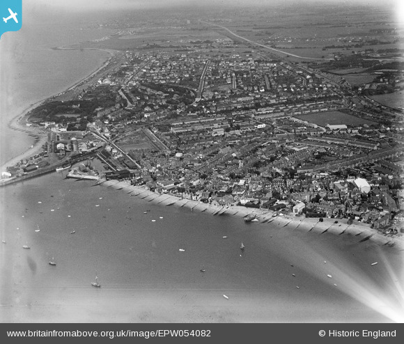
EPW054082 ENGLAND (1937). The town, Whitstable, from the west, 1937
© Hawlfraint cyfranwyr OpenStreetMap a thrwyddedwyd gan yr OpenStreetMap Foundation. 2026. Trwyddedir y gartograffeg fel CC BY-SA.
Delweddau cyfagos (7)
EPW054082

EPW018620

EPW054078

EPW018617

EPW009153

EPW018619

EPW035499

Manylion
| Pennawd | [EPW054082] The town, Whitstable, from the west, 1937 |
| Cyfeirnod | EPW054082 |
| Dyddiad | June-1937 |
| Dolen | |
| Enw lle | WHITSTABLE |
| Plwyf | |
| Ardal | |
| Gwlad | ENGLAND |
| Dwyreiniad / Gogleddiad | 610602, 166794 |
| Hydred / Lledred | 1.0254348799524, 51.360610760852 |
| Cyfeirnod Grid Cenedlaethol | TR106668 |
Pinnau

Alan McFaden |
Wednesday 9th of July 2014 09:59:42 AM |
