
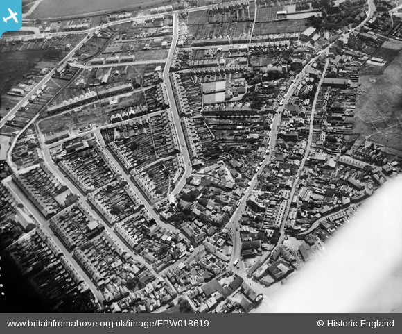
EPW018619 ENGLAND (1927). The area around the Whitstable and Seasalter School and Regent Street, Whitstable, 1927
© Hawlfraint cyfranwyr OpenStreetMap a thrwyddedwyd gan yr OpenStreetMap Foundation. 2026. Trwyddedir y gartograffeg fel CC BY-SA.
Delweddau cyfagos (6)
EPW018619

EPW018617

EPW018620

EPW054082

EPW054078

EPW000651

Manylion
| Pennawd | [EPW018619] The area around the Whitstable and Seasalter School and Regent Street, Whitstable, 1927 |
| Cyfeirnod | EPW018619 |
| Dyddiad | 22-June-1927 |
| Dolen | |
| Enw lle | WHITSTABLE |
| Plwyf | |
| Ardal | |
| Gwlad | ENGLAND |
| Dwyreiniad / Gogleddiad | 610727, 166612 |
| Hydred / Lledred | 1.0271200619341, 51.358930016599 |
| Cyfeirnod Grid Cenedlaethol | TR107666 |
Pinnau

Sparky |
Saturday 31st of October 2020 05:28:01 PM | |
|
Sparky |
Saturday 31st of October 2020 05:27:29 PM | |
|
Sparky |
Saturday 31st of October 2020 05:26:40 PM | |
|
Sparky |
Saturday 31st of October 2020 05:25:56 PM | |
|
Sparky |
Saturday 31st of October 2020 05:25:19 PM | |

PaulCT5 |
Monday 12th of October 2015 08:07:24 PM | |
|
janetken1 |
Thursday 20th of June 2013 03:22:17 PM |