
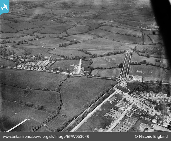
EPW053046 ENGLAND (1937). The Spur Road and London Road roundabout junction and environs, Edgware, 1937
© Hawlfraint cyfranwyr OpenStreetMap a thrwyddedwyd gan yr OpenStreetMap Foundation. 2026. Trwyddedir y gartograffeg fel CC BY-SA.
Delweddau cyfagos (3)
EPW053046

EPW053029

EAW027663
 in flight over Stanmore Outstation and Edgwarebury Park, Edgware, from the south-west, 1949")
Manylion
| Pennawd | [EPW053046] The Spur Road and London Road roundabout junction and environs, Edgware, 1937 |
| Cyfeirnod | EPW053046 |
| Dyddiad | 17-May-1937 |
| Dolen | |
| Enw lle | EDGWARE |
| Plwyf | |
| Ardal | |
| Gwlad | ENGLAND |
| Dwyreiniad / Gogleddiad | 518264, 193038 |
| Hydred / Lledred | -0.29138672752444, 51.623249271137 |
| Cyfeirnod Grid Cenedlaethol | TQ183930 |
Pinnau

ken |
Monday 26th of February 2024 08:27:47 PM | |
|
ken |
Tuesday 14th of July 2015 04:05:47 PM | |
|
ken |
Tuesday 14th of July 2015 04:05:01 PM | |
|
colsouth111 |
Friday 2nd of August 2013 08:29:54 PM | |
Now a McDonald's resturant (same building). |
Wordsmith52 |
Tuesday 24th of September 2013 09:47:21 PM |