
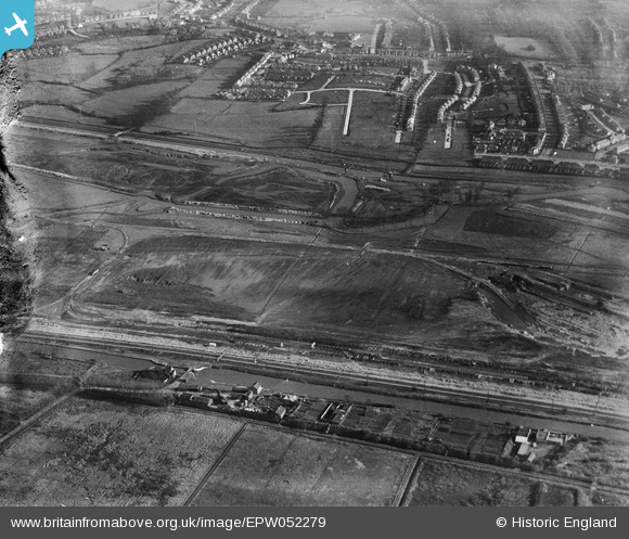
EPW052279 ENGLAND (1936). The site of the William Girling Reservoir showing preliminary construction works, Edmonton, 1936. This image has been produced from a damaged negative.
© Hawlfraint cyfranwyr OpenStreetMap a thrwyddedwyd gan yr OpenStreetMap Foundation. 2026. Trwyddedir y gartograffeg fel CC BY-SA.
Delweddau cyfagos (38)
EPW052279

EPW052286

EPW048912

EPW060636

EAW044489

EPW055974

EPW056812

EPW058458
 Reservoir under construction, Edmonton, 1938")
EPW056318

EAW040924

EPW060628

EPW055969

EPW056824

EPW053844
 Reservoir under construction, Edmonton, 1937")
EPW050857

EPW058472
 Reservoir under construction, Edmonton, 1938")
EPW056322

EAW044486

EPW060642

EPW060633

EAW040927

EPW055970

EPW060641

EPW056323

EPW055973

EPW055972

EPW053847
 Reservoir under construction, Edmonton, 1937")
EPW056828

EPW060643

EPW056324

EPW050865

EPW055984

EPW058463
 Reservoir under construction, Edmonton, from the south, 1938")
EPW060640

EPW052281

EPW056317

EPW056327

EPW055985

Manylion
| Pennawd | [EPW052279] The site of the William Girling Reservoir showing preliminary construction works, Edmonton, 1936. This image has been produced from a damaged negative. |
| Cyfeirnod | EPW052279 |
| Dyddiad | November-1936 |
| Dolen | |
| Enw lle | EDMONTON |
| Plwyf | |
| Ardal | |
| Gwlad | ENGLAND |
| Dwyreiniad / Gogleddiad | 536587, 193620 |
| Hydred / Lledred | -0.026596863277154, 51.624330398512 |
| Cyfeirnod Grid Cenedlaethol | TQ366936 |
Pinnau
Byddwch y cyntaf i ychwanegu sylw at y ddelwedd hon!