
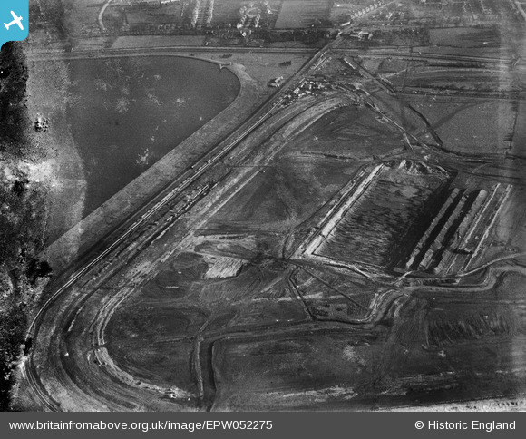
EPW052275 ENGLAND (1936). The site of the northern end of the William Girling Reservoir showing preliminary construction works, Ponders End, 1936. This image has been produced from a damaged negative.
© Hawlfraint cyfranwyr OpenStreetMap a thrwyddedwyd gan yr OpenStreetMap Foundation. 2026. Trwyddedir y gartograffeg fel CC BY-SA.
Delweddau cyfagos (33)
EPW052275

EPW053850
 Reservoir under construction, Edmonton, 1937")
EPW055978

EPW050860

EPW056328

EPW060626

EPW060638

EPW056330

EPW055986

EPW053839
 Reservoir under construction, Edmonton, 1937")
EPW049705

EPW055975

EPW060632

EPW053849
 Reservoir under construction, Edmonton, 1937")
EPW056826

EPW060224
 Reservoir under construction, Edmonton, from the north, 1938")
EPW058469
 Reservoir under construction, Edmonton, 1938")
EPW060637

EPW058455
 Reservoir under construction, Edmonton, 1938")
EPW056819

EPW053842
 Reservoir under construction, Edmonton, 1937. This image has been affected by flare.")
EPW050861

EPW053845
 Reservoir under construction, Edmonton, 1937")
EPW056827

EPW049719

EPW049713

EPW049697

EPW052689

EPW060220
 Reservoir under construction, Edmonton, 1938")
EPW058466
 Reservoir under construction, Edmonton, 1938")
EPW052266

EAW040926

EPW049704

Manylion
| Pennawd | [EPW052275] The site of the northern end of the William Girling Reservoir showing preliminary construction works, Ponders End, 1936. This image has been produced from a damaged negative. |
| Cyfeirnod | EPW052275 |
| Dyddiad | November-1936 |
| Dolen | |
| Enw lle | PONDERS END |
| Plwyf | |
| Ardal | |
| Gwlad | ENGLAND |
| Dwyreiniad / Gogleddiad | 536844, 195095 |
| Hydred / Lledred | -0.022309536725507, 51.637523696645 |
| Cyfeirnod Grid Cenedlaethol | TQ368951 |
Pinnau
Byddwch y cyntaf i ychwanegu sylw at y ddelwedd hon!