
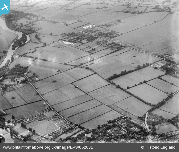
EPW052031 ENGLAND (1936). Fields between Dorney Reach and the Bray Court Hotel prior to the construction of the Maidenhead by-pass, Bray Wick, from the north-west, 1936. This image has been produced from a damaged negative.
© Hawlfraint cyfranwyr OpenStreetMap a thrwyddedwyd gan yr OpenStreetMap Foundation. 2026. Trwyddedir y gartograffeg fel CC BY-SA.
Delweddau cyfagos (7)
EPW052031

EAW003805

EPW052028

EPW052026

EAW003803

EAW003806

EPW052022

Manylion
| Pennawd | [EPW052031] Fields between Dorney Reach and the Bray Court Hotel prior to the construction of the Maidenhead by-pass, Bray Wick, from the north-west, 1936. This image has been produced from a damaged negative. |
| Cyfeirnod | EPW052031 |
| Dyddiad | October-1936 |
| Dolen | |
| Enw lle | BRAY WICK |
| Plwyf | BRAY |
| Ardal | |
| Gwlad | ENGLAND |
| Dwyreiniad / Gogleddiad | 490658, 179221 |
| Hydred / Lledred | -0.69365885704891, 51.504159512473 |
| Cyfeirnod Grid Cenedlaethol | SU907792 |
Pinnau
Byddwch y cyntaf i ychwanegu sylw at y ddelwedd hon!