
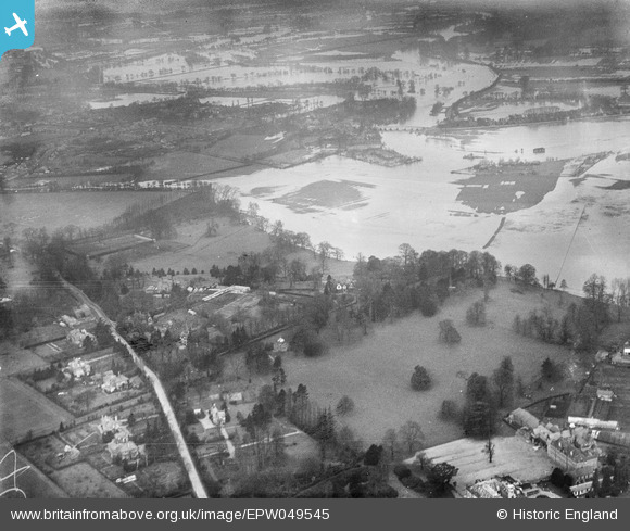
EPW049545 ENGLAND (1936). River Thames in flood around Woburn Park, Addlestone, from the south-east, 1936
© Hawlfraint cyfranwyr OpenStreetMap a thrwyddedwyd gan yr OpenStreetMap Foundation. 2026. Trwyddedir y gartograffeg fel CC BY-SA.
Delweddau cyfagos (4)
EPW049545

EPW049543

EAW003684

EAW029248

Manylion
| Pennawd | [EPW049545] River Thames in flood around Woburn Park, Addlestone, from the south-east, 1936 |
| Cyfeirnod | EPW049545 |
| Dyddiad | January-1936 |
| Dolen | |
| Enw lle | ADDLESTONE |
| Plwyf | |
| Ardal | |
| Gwlad | ENGLAND |
| Dwyreiniad / Gogleddiad | 505842, 165348 |
| Hydred / Lledred | -0.47909014569232, 51.376809100986 |
| Cyfeirnod Grid Cenedlaethol | TQ058653 |
Pinnau
Byddwch y cyntaf i ychwanegu sylw at y ddelwedd hon!