
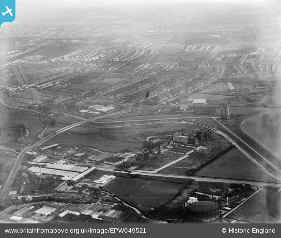
EPW049521 ENGLAND (1935). The Angel Factory Colony and environs, Upper Edmonton, from the west, 1935
© Hawlfraint cyfranwyr OpenStreetMap a thrwyddedwyd gan yr OpenStreetMap Foundation. 2026. Trwyddedir y gartograffeg fel CC BY-SA.
Delweddau cyfagos (7)
EPW049521

EPW049728
 and other factories, Edmonton, 1936")
EPW048900

EPW005591

EPW052272

EPW042085

EPW042086

Manylion
| Pennawd | [EPW049521] The Angel Factory Colony and environs, Upper Edmonton, from the west, 1935 |
| Cyfeirnod | EPW049521 |
| Dyddiad | December-1935 |
| Dolen | |
| Enw lle | UPPER EDMONTON |
| Plwyf | |
| Ardal | |
| Gwlad | ENGLAND |
| Dwyreiniad / Gogleddiad | 535763, 191991 |
| Hydred / Lledred | -0.039125694618385, 51.609889915976 |
| Cyfeirnod Grid Cenedlaethol | TQ358920 |
Pinnau
Byddwch y cyntaf i ychwanegu sylw at y ddelwedd hon!