
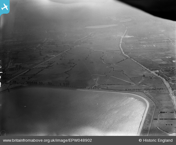
EPW048902 ENGLAND (1935). The southern end of King George's Reservoir and the site of the William Girling Reservoir, Ponders End, from the north, 1935
© Hawlfraint cyfranwyr OpenStreetMap a thrwyddedwyd gan yr OpenStreetMap Foundation. 2026. Trwyddedir y gartograffeg fel CC BY-SA.
Delweddau cyfagos (6)
EPW048902

EPW049704

EPW058455
 Reservoir under construction, Edmonton, 1938")
EPW048904

EPW060632

EPW056819

Manylion
| Pennawd | [EPW048902] The southern end of King George's Reservoir and the site of the William Girling Reservoir, Ponders End, from the north, 1935 |
| Cyfeirnod | EPW048902 |
| Dyddiad | August-1935 |
| Dolen | |
| Enw lle | PONDERS END |
| Plwyf | |
| Ardal | |
| Gwlad | ENGLAND |
| Dwyreiniad / Gogleddiad | 536918, 195424 |
| Hydred / Lledred | -0.021112027789183, 51.640462384118 |
| Cyfeirnod Grid Cenedlaethol | TQ369954 |
Pinnau
Byddwch y cyntaf i ychwanegu sylw at y ddelwedd hon!