
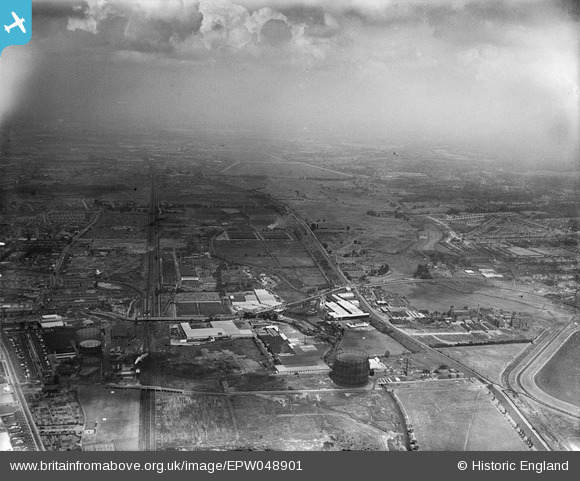
EPW048901 ENGLAND (1935). The Gothic Gas Meters and Stove Works and the site of the William Girling Reservoir, Upper Edmonton, from the south, 1935
© Hawlfraint cyfranwyr OpenStreetMap a thrwyddedwyd gan yr OpenStreetMap Foundation. 2026. Trwyddedir y gartograffeg fel CC BY-SA.
Delweddau cyfagos (31)
EPW048901

EPW044752

EPW044749

EPW044758

EPW044750

EPW044751

EPW044757

EPW044760

EPW032038

EPW049728
 and other factories, Edmonton, 1936")
EPW032042

EPW044759

EPW056394

EPW044761

EPW032759

EPW032043

EPW032762

EPW032039

EPW048900

EPW032037

EPW042088

EPW032757

EPW044756

EPW032763

EPW044755

EPW032758

EPW032761

EPW032760

EPW032764

EPW032044

EPW044753

Manylion
| Pennawd | [EPW048901] The Gothic Gas Meters and Stove Works and the site of the William Girling Reservoir, Upper Edmonton, from the south, 1935 |
| Cyfeirnod | EPW048901 |
| Dyddiad | August-1935 |
| Dolen | |
| Enw lle | UPPER EDMONTON |
| Plwyf | |
| Ardal | |
| Gwlad | ENGLAND |
| Dwyreiniad / Gogleddiad | 535508, 192022 |
| Hydred / Lledred | -0.042794450881412, 51.610229956003 |
| Cyfeirnod Grid Cenedlaethol | TQ355920 |
Pinnau
Byddwch y cyntaf i ychwanegu sylw at y ddelwedd hon!