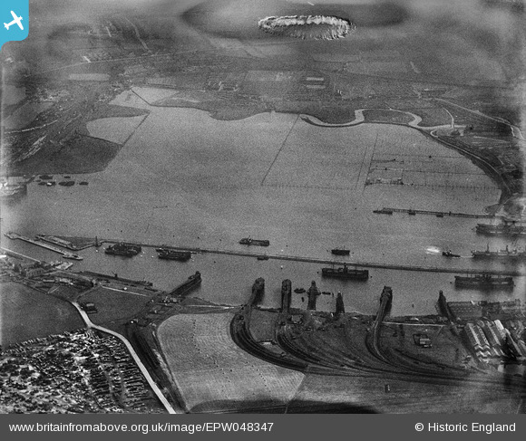
EPW048347 ENGLAND (1935). Jarrow Slake and Northumberland Dock, Jarrow, 1935. This image has been produced from a damaged negative.
    © Hawlfraint cyfranwyr OpenStreetMap a thrwyddedwyd gan yr OpenStreetMap Foundation. 2025. Trwyddedir y gartograffeg fel CC BY-SA.
  
Manylion
| Pennawd | [EPW048347] Jarrow Slake and Northumberland Dock, Jarrow, 1935. This image has been produced from a damaged negative. | 
| Cyfeirnod | EPW048347 | 
| Dyddiad | July-1935 | 
| Dolen | |
| Enw lle | JARROW | 
| Plwyf | |
| Ardal | |
| Gwlad | ENGLAND | 
| Dwyreiniad / Gogleddiad | 434325, 565766 | 
| Hydred / Lledred | -1.4635504904853, 54.985231995232 | 
| Cyfeirnod Grid Cenedlaethol | NZ343658 | 
 
             
  ![[EPW048347] Jarrow Slake and Northumberland Dock, Jarrow, 1935. This image has been produced from a damaged negative.](http://britainfromabove.org.uk/sites/all/libraries/aerofilms-images/public/100x100/EPW/048/EPW048347.jpg) 
  
                                          ![[EPW048809] Northumberland Dock, the River Tyne and Jarrow Slake, Jarrow, 1935. This image has been produced from a copy-negative.](http://britainfromabove.org.uk/sites/all/libraries/aerofilms-images/public/100x100/EPW/048/EPW048809.jpg) 
 ![[EPW025065] The Timber Yards, Northumberland Dock and Jarrow Slake Timber Ponds, East Howdon, from the south-west, 1928](http://britainfromabove.org.uk/sites/all/libraries/aerofilms-images/public/100x100/EPW/025/EPW025065.jpg) 
  This stretch of the mud flats was called 'Jarrow Slake' known locally as 'Jarra Slacks'. Pics on my www.oldtyneside.co.uk website
 This stretch of the mud flats was called 'Jarrow Slake' known locally as 'Jarra Slacks'. Pics on my www.oldtyneside.co.uk website